IJmuiden & Amsterdam, Netherlands and Two Sea Days
IJmuiden, Netherlands
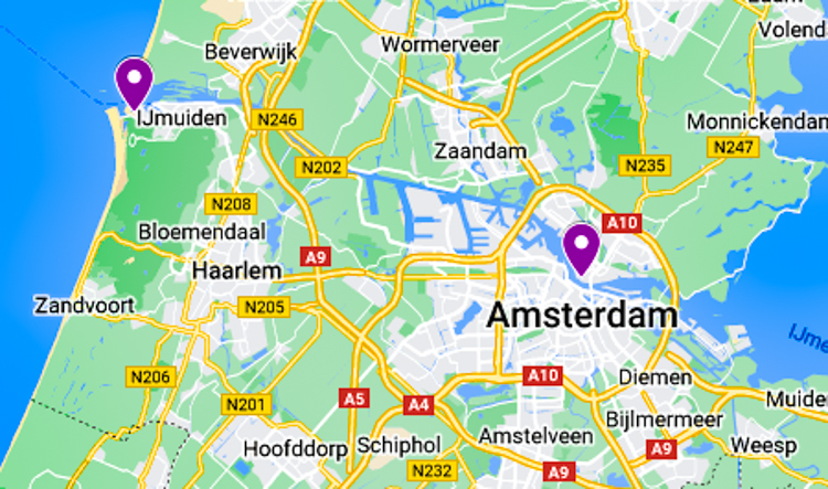
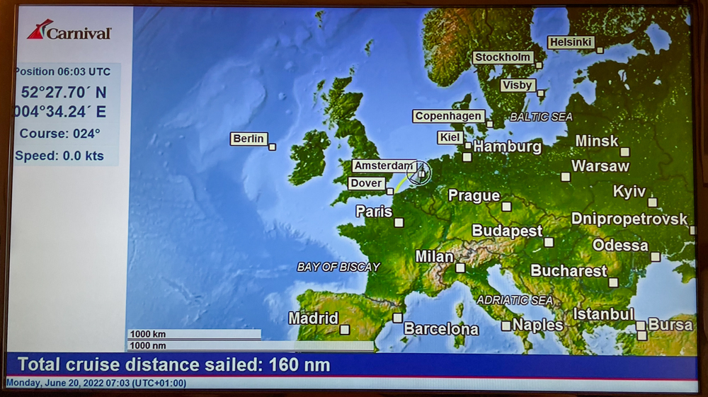
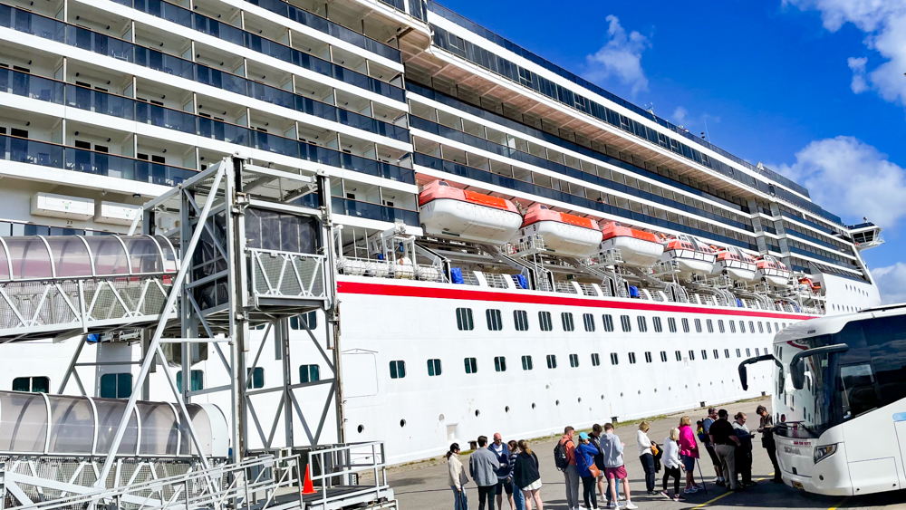
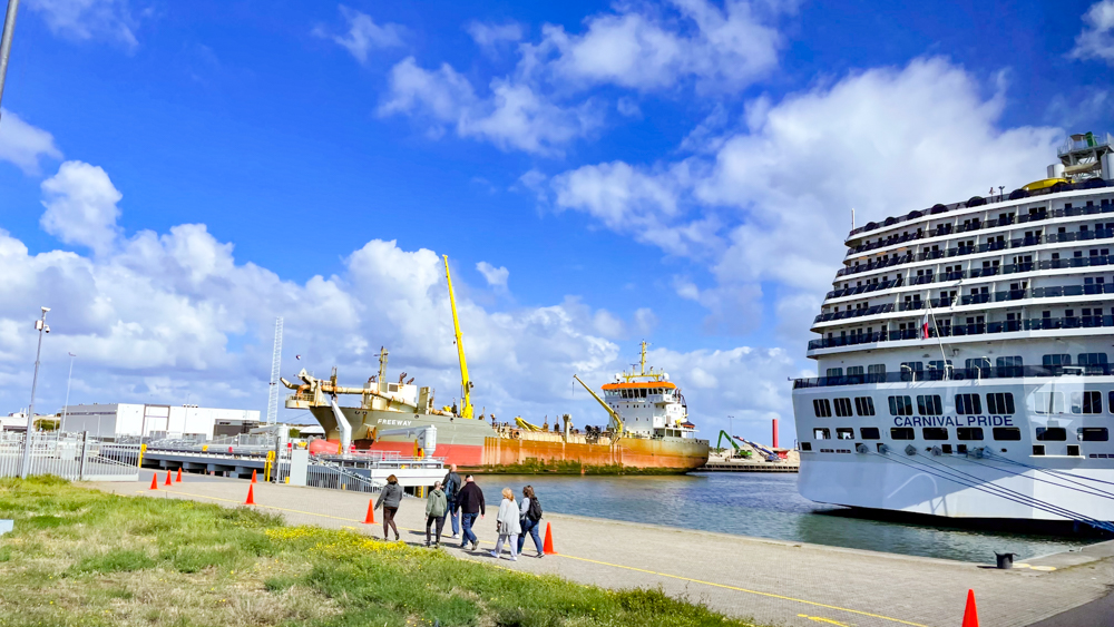
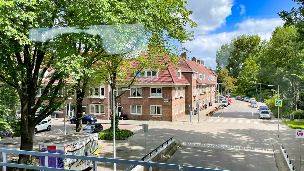
Monday, June 20th we docked in IJmuiden, Netherlands which is about a 35 to 40 minute drive east to Amsterdam.
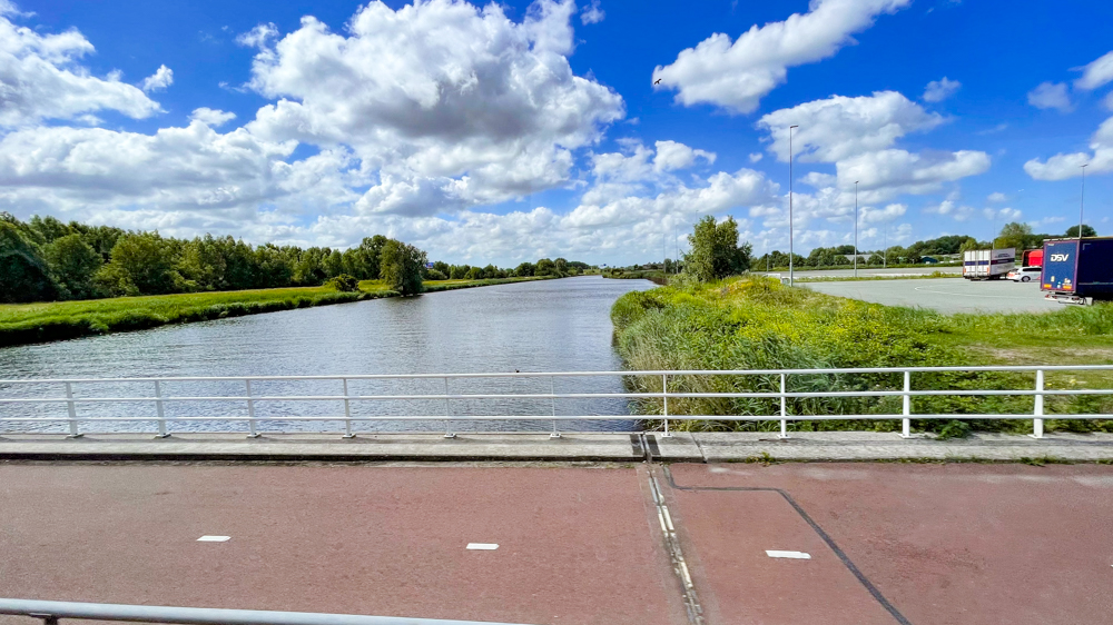
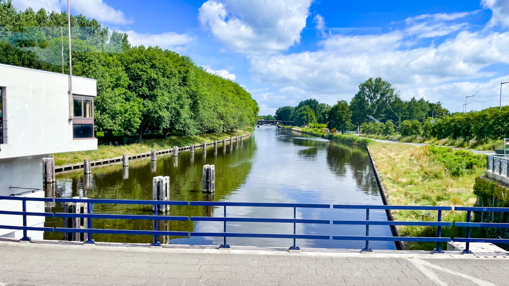
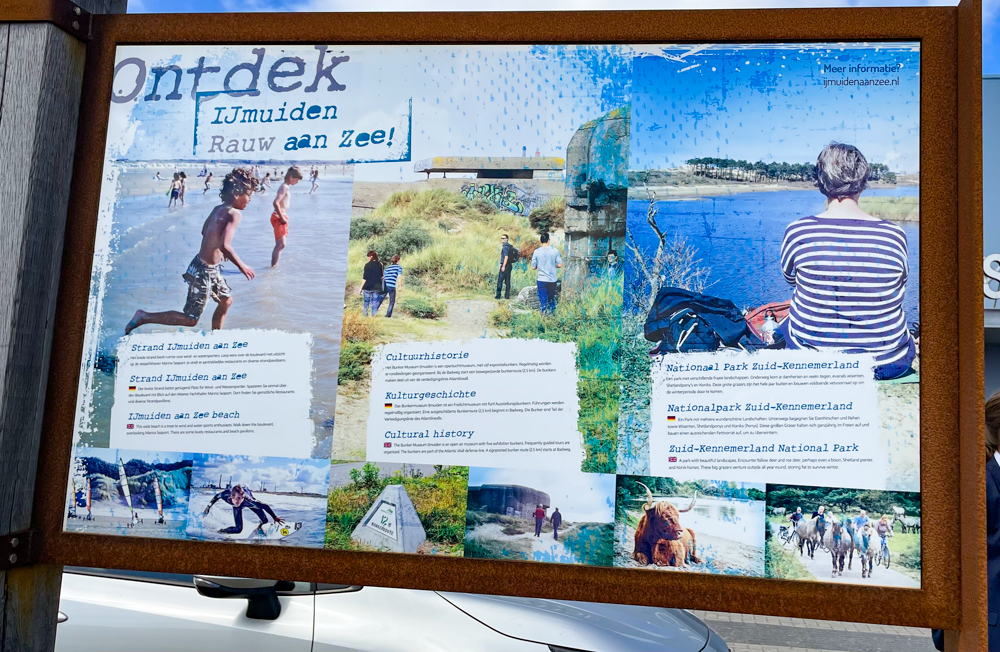
IJmuiden is a port city in the Dutch province of North Holland. It straddles the mouth of the North Sea Canal to Amsterdam and to the south it abuts a large reserve of plant-covered dunes, the Zuid-Kennemerland National Park. The city is on the south bank.
Before IJmuiden was built, the area was known as Breesaap, a desolate plain. Plans to connect Amsterdam with a canal to the North Sea, with its mouth in this area, had been drawn up already since 1626, but were only set into motion in the 19th century, when in 1851 the whole area was sold to the entrepreneurs Bik and Arnold. The first spade hit the ground on 8 April 1865.
IJmuiden is the newest city in North Holland. It was founded on 1 November 1876, when the North Sea Canal was officially opened by William III of the Netherlands, shortcutting Amsterdam’s harbors passage to the sea. He dubbed the town IJmuiden. The name IJmuiden literally means “mouth of the IJ”, the IJ is a body of water, formerly a bay in Amsterdam and is known for being Amsterdam’s waterfront.
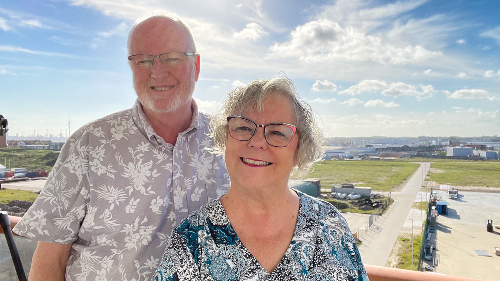
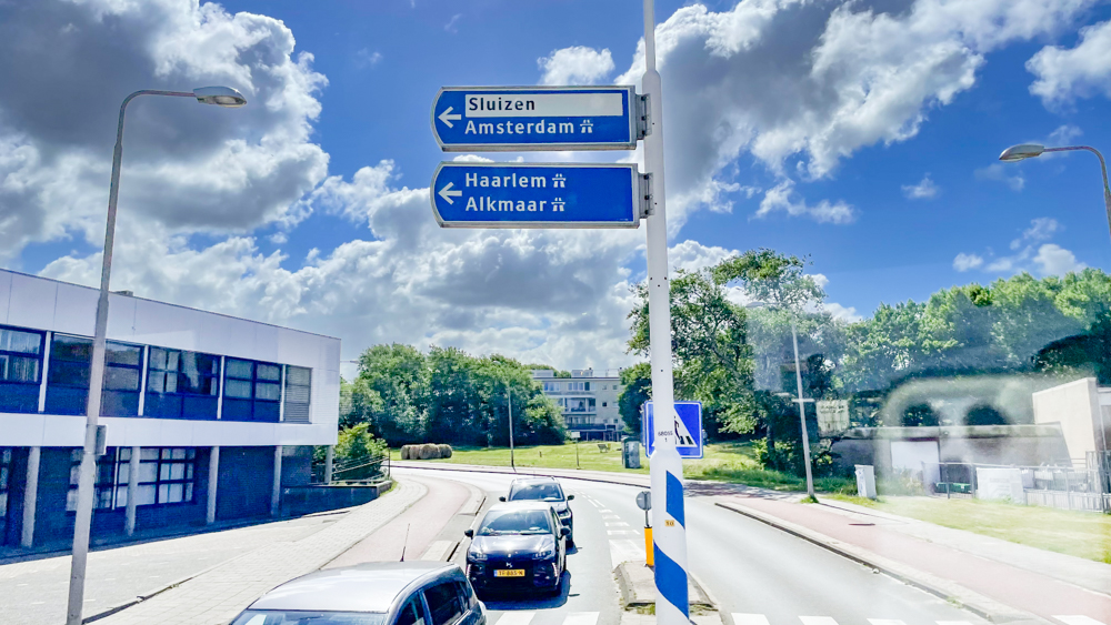
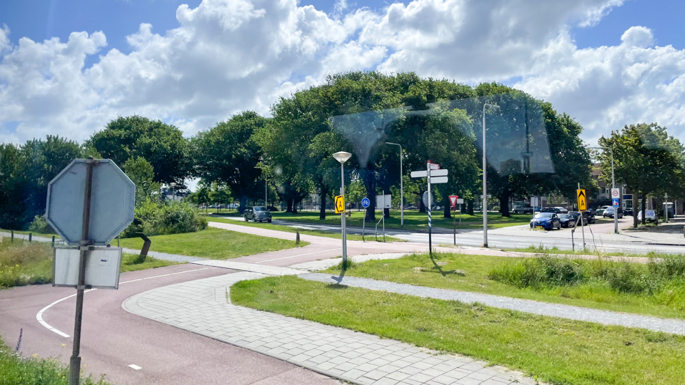
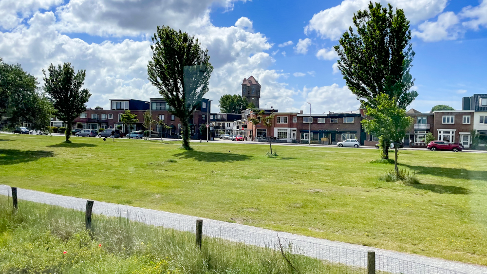
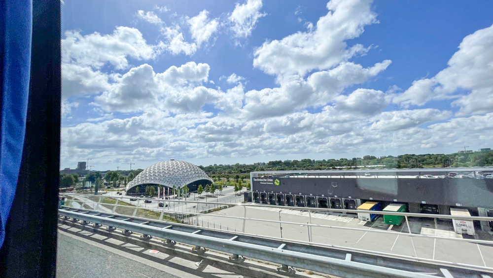
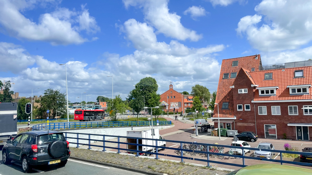
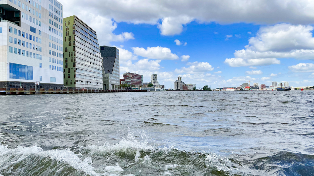
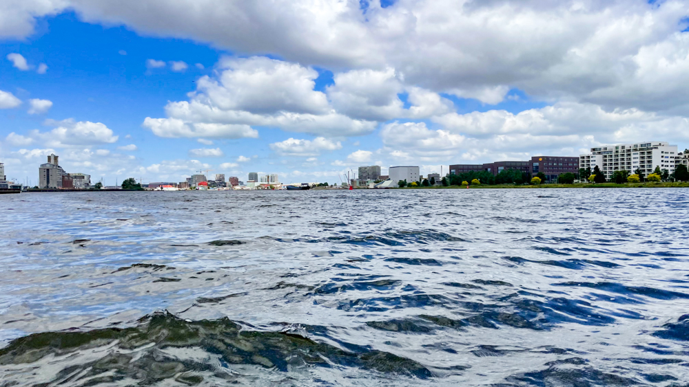
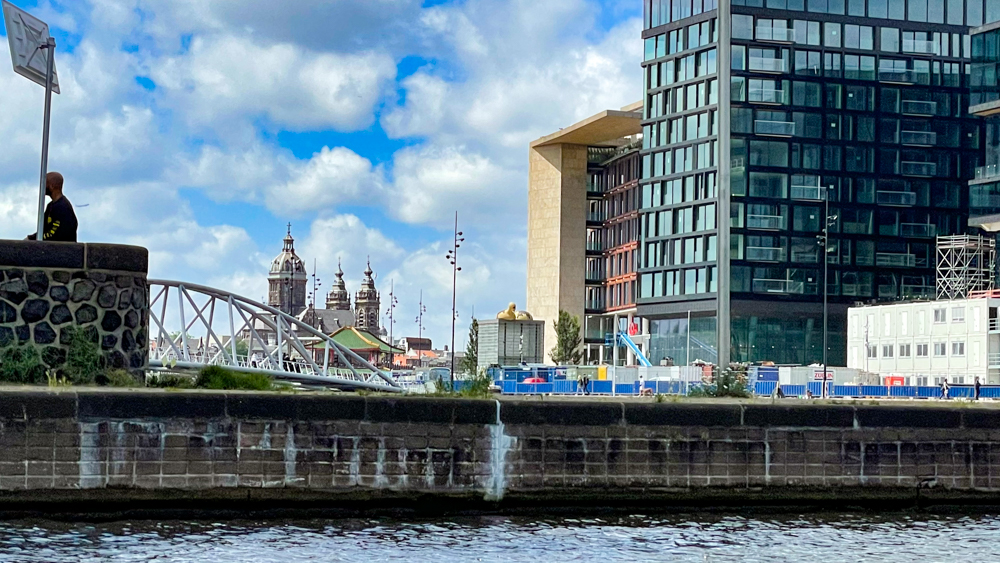
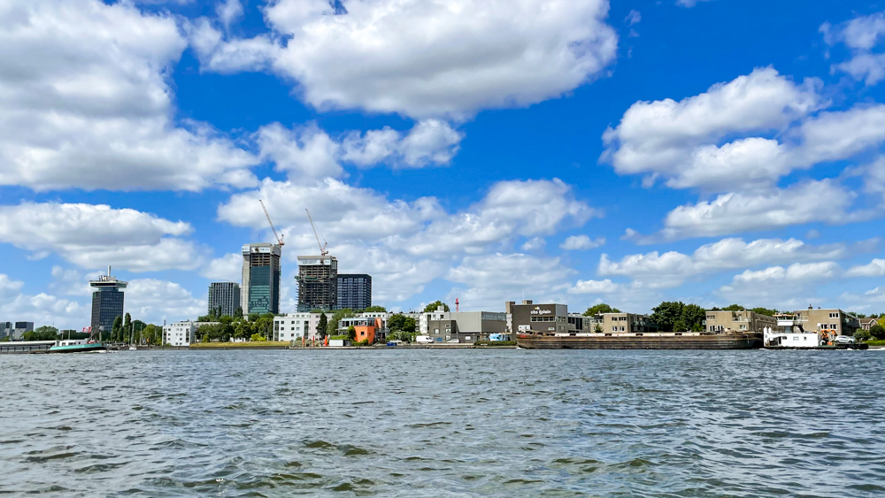
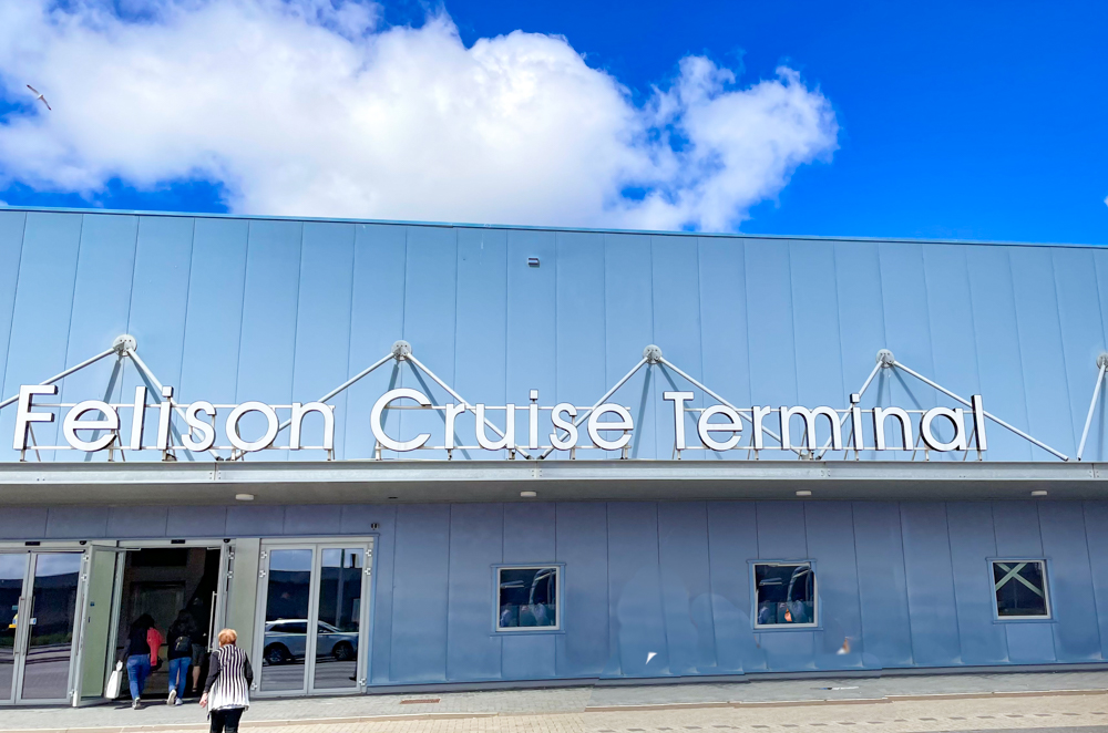
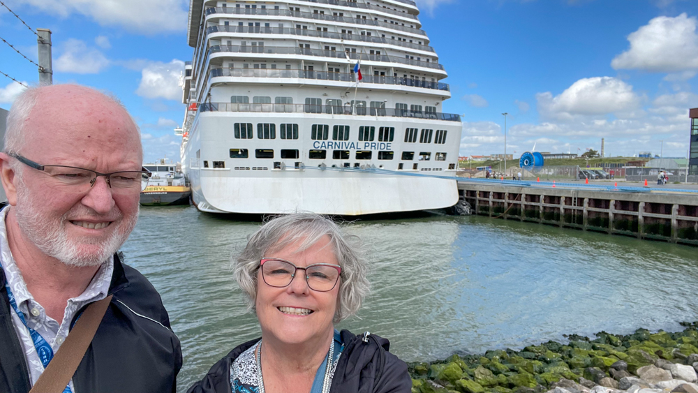
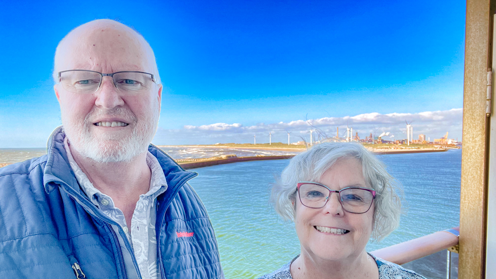
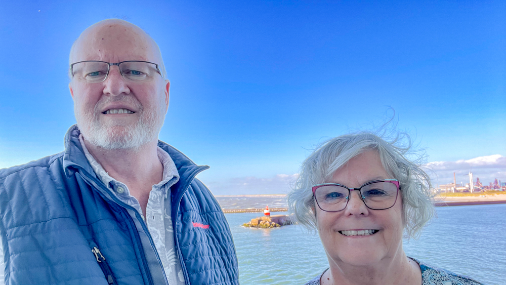
We did not spend any time in this city, as we took an excursion to Amsterdam, although we got a few photos from the ship. Apparently, although Amsterdam has places for the ships to dock, they have increased pricing for the ships, therefore many choose to dock in IJmuiden and provide transportation to Amsterdam from there.
Amsterdam, Netherlands
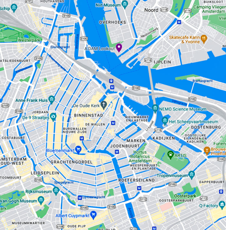
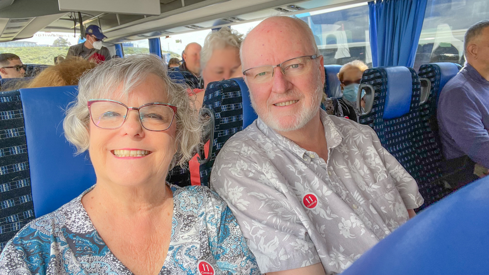
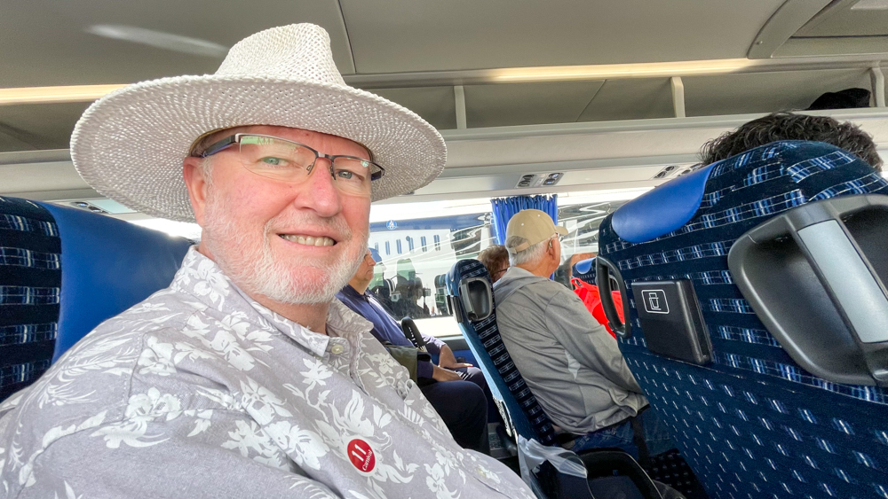
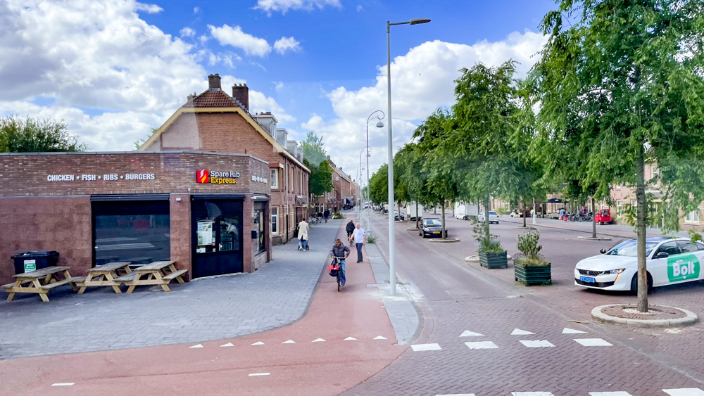
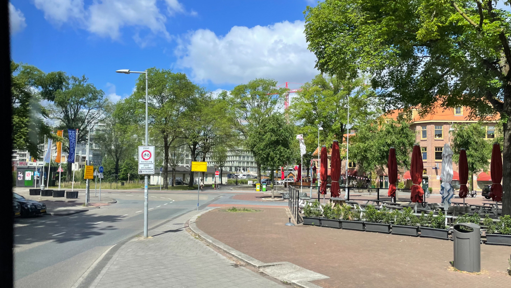
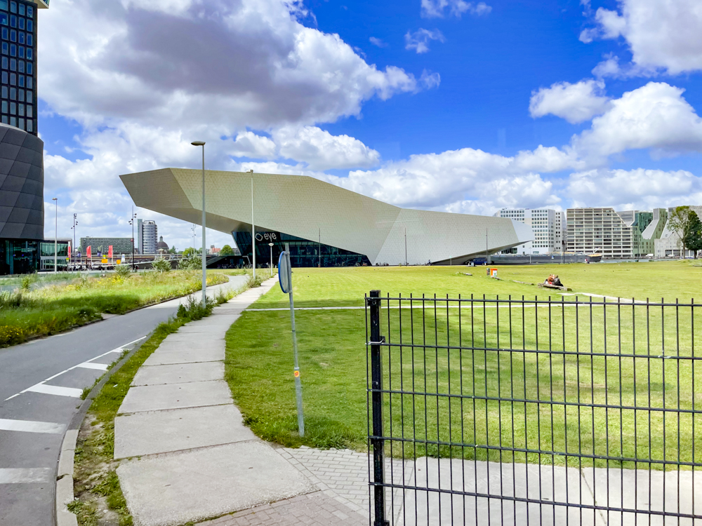
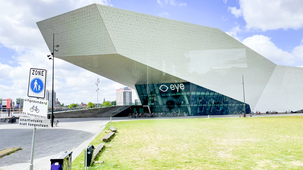
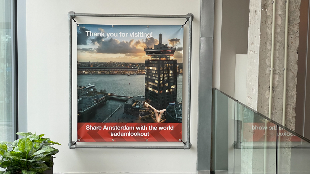
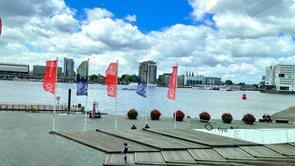
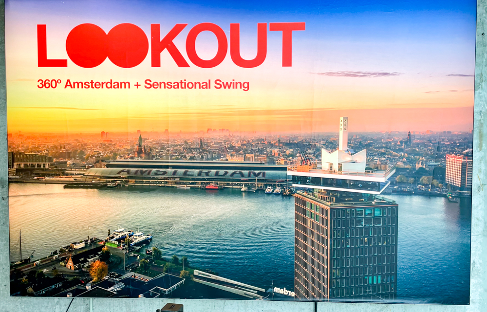
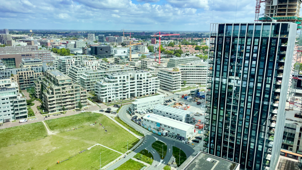
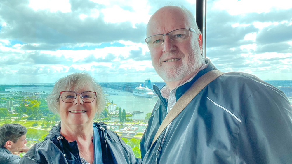
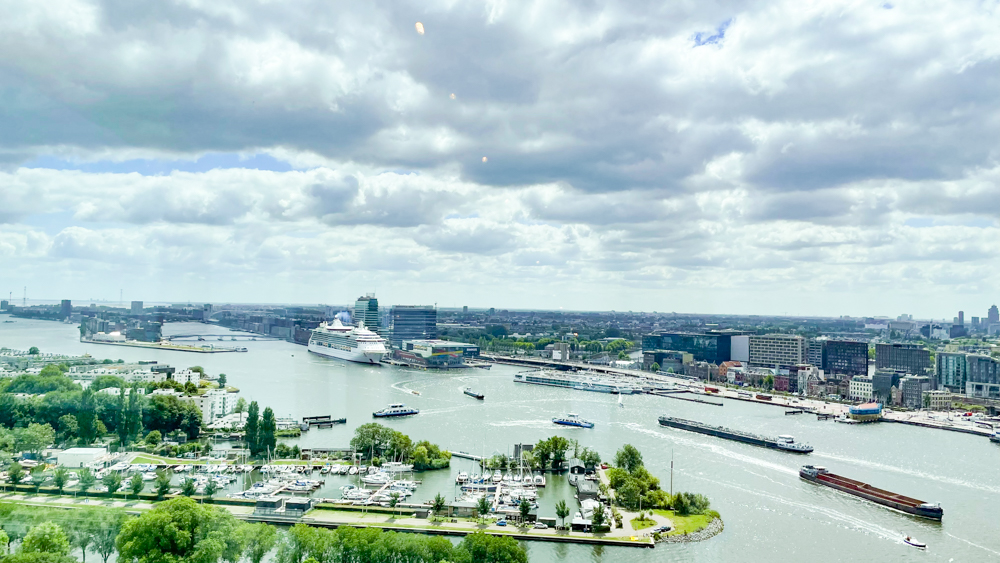
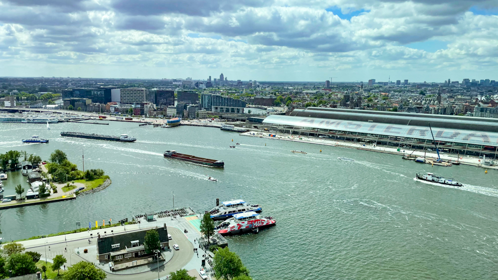
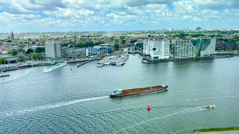
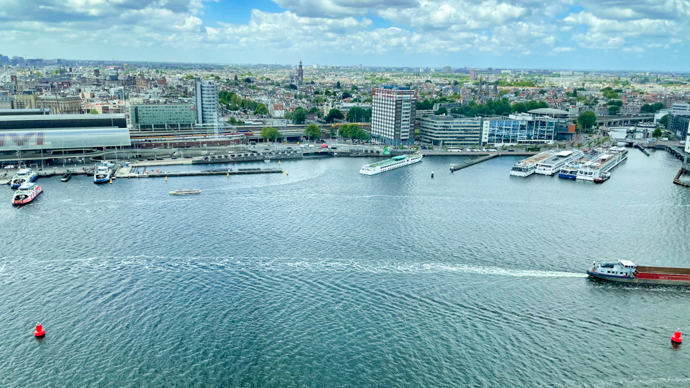
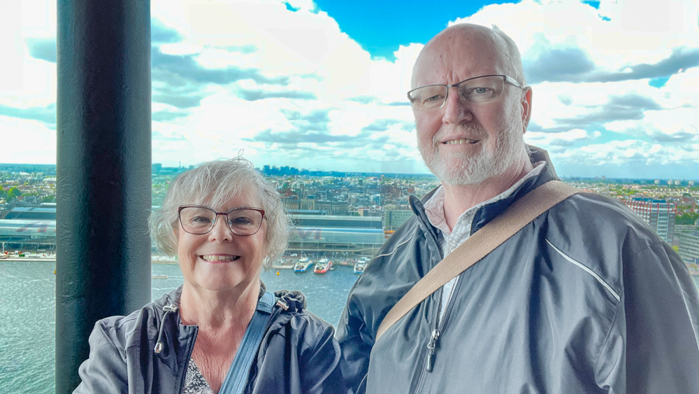
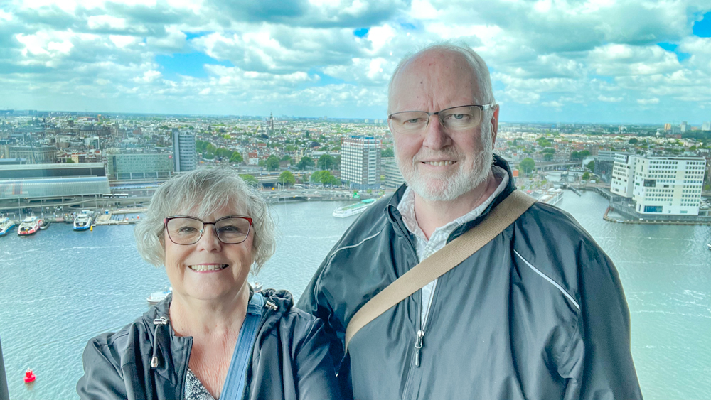
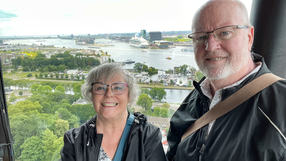
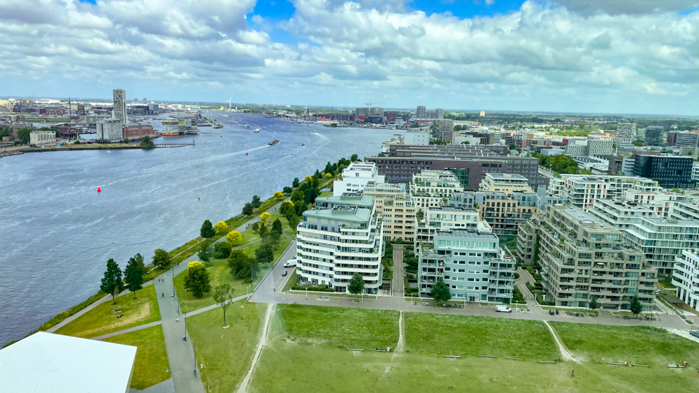
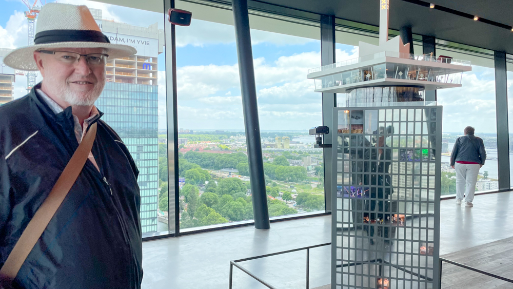
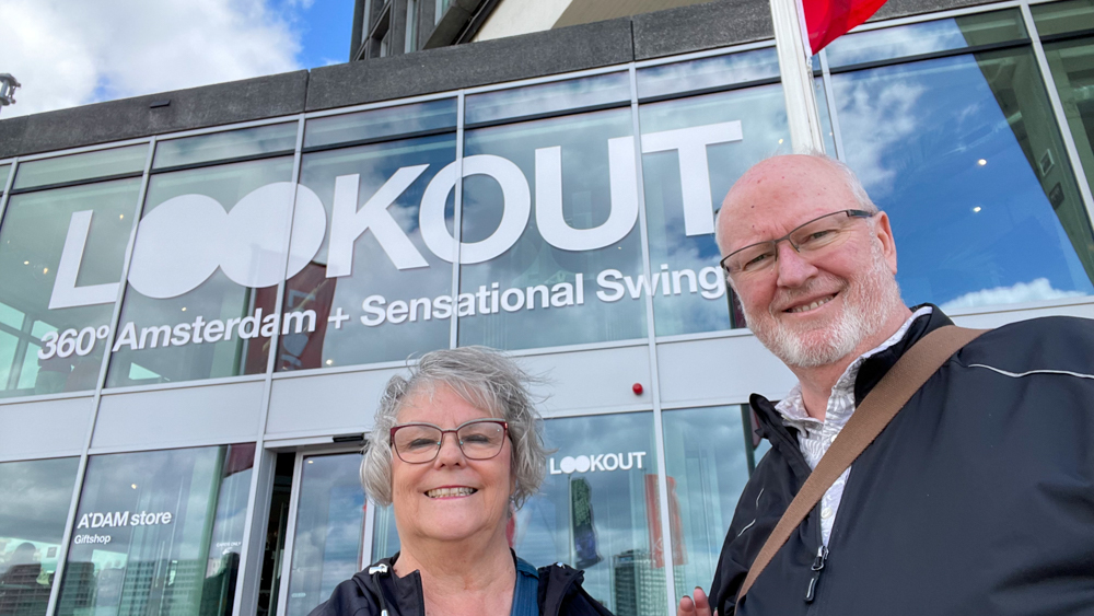
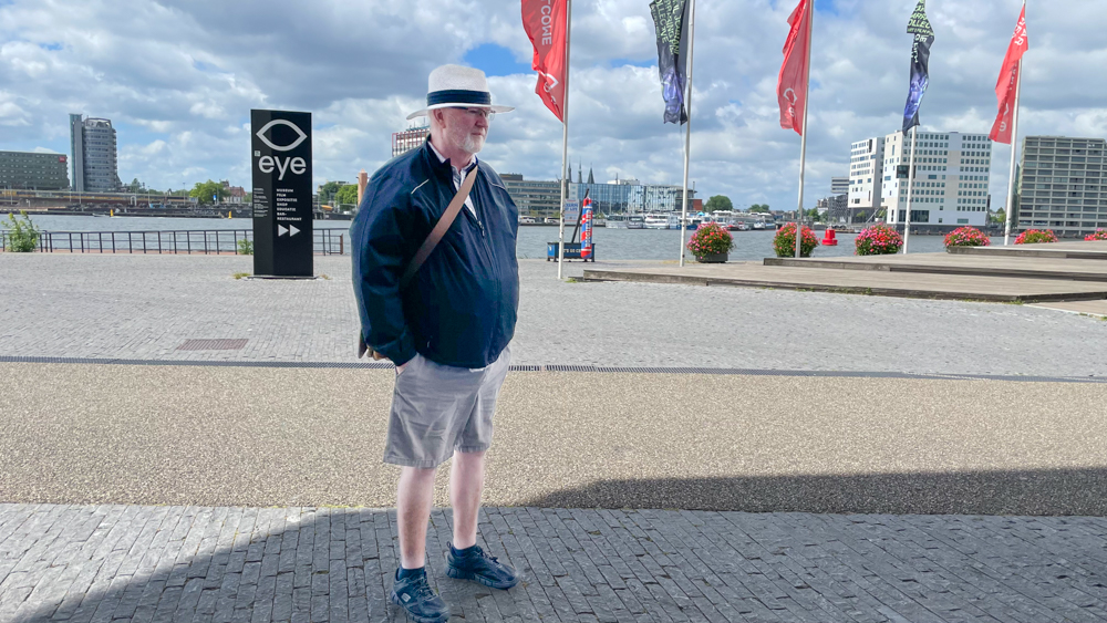
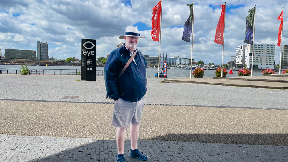
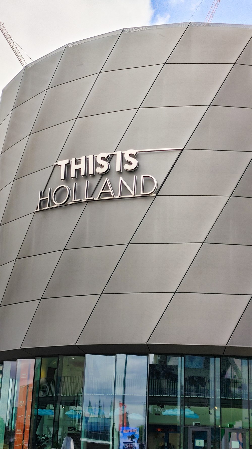
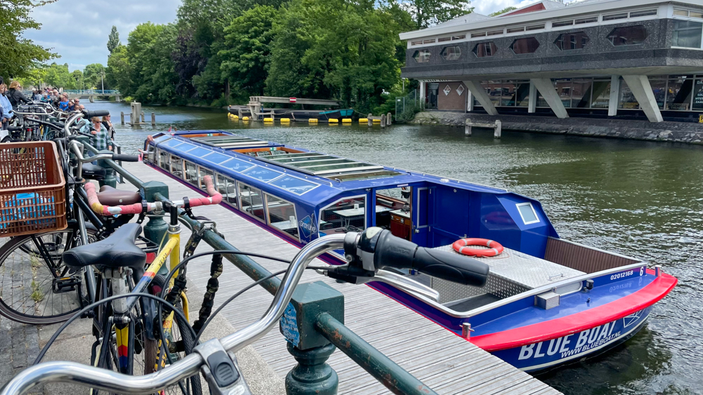
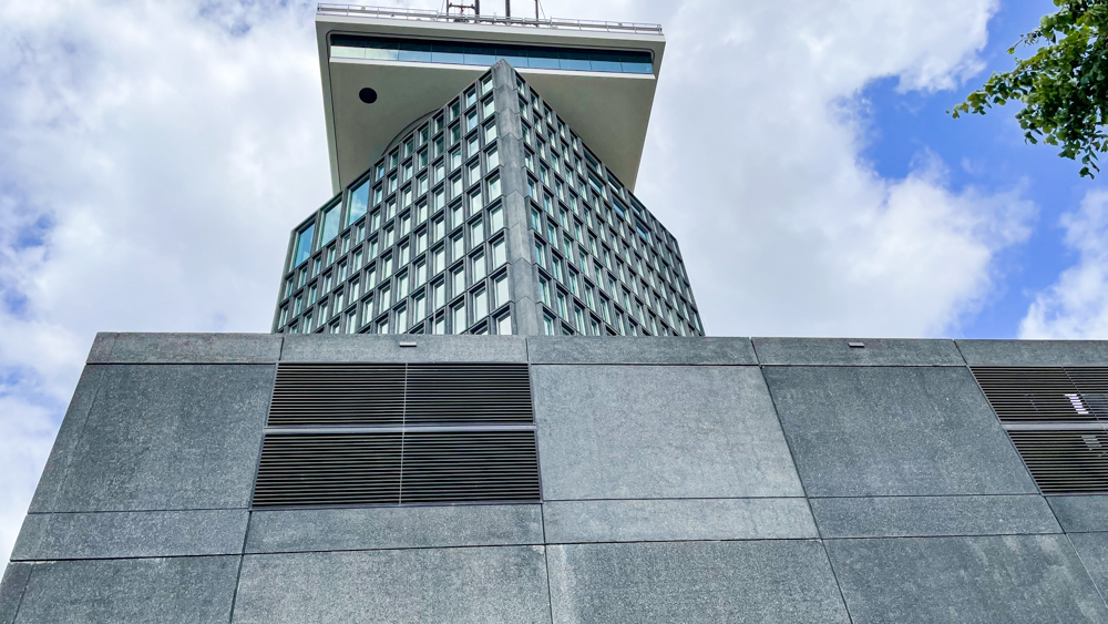
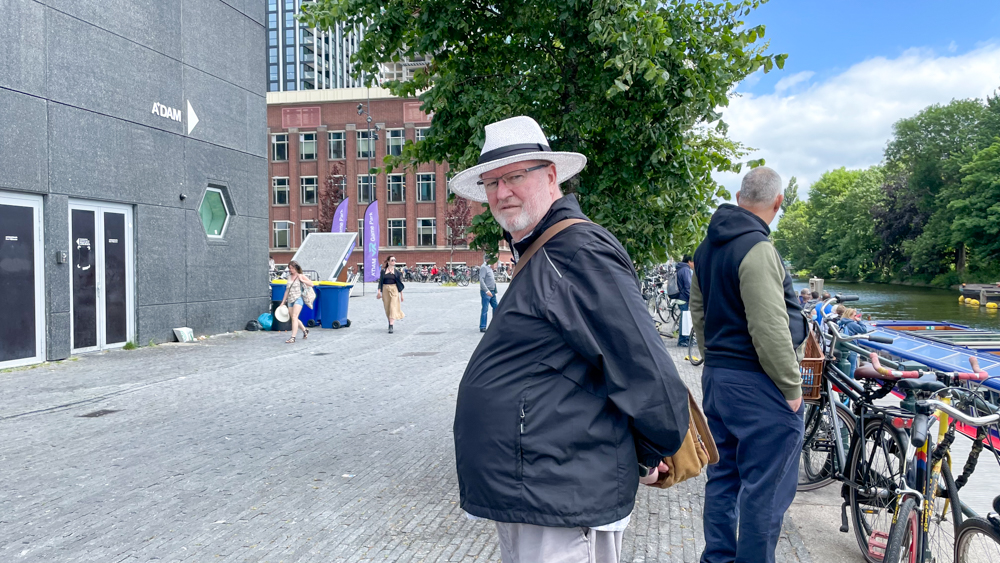
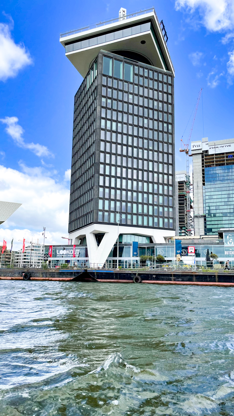
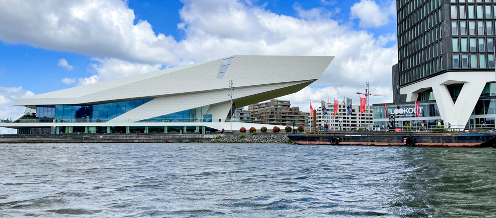
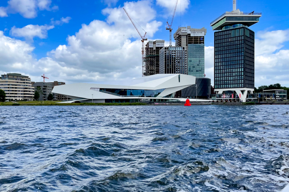
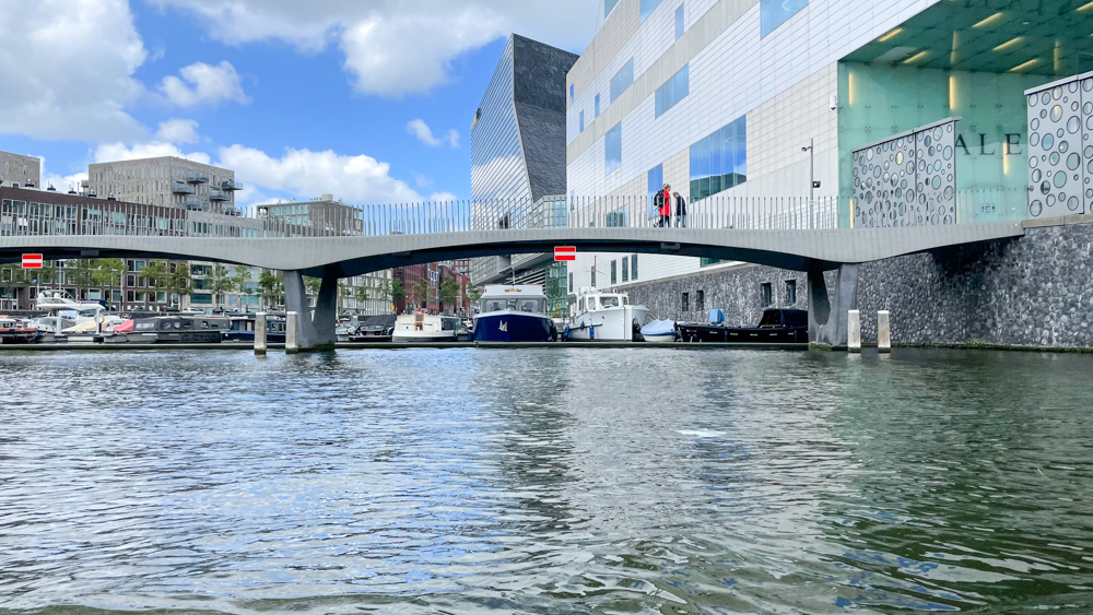
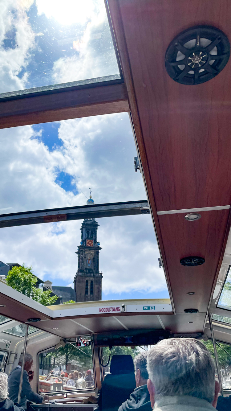
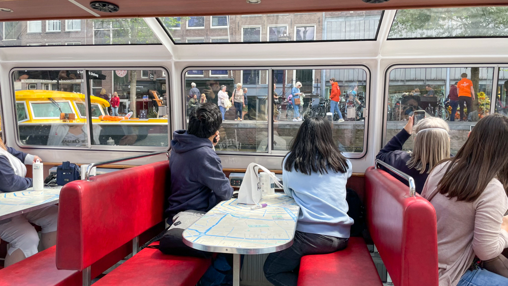
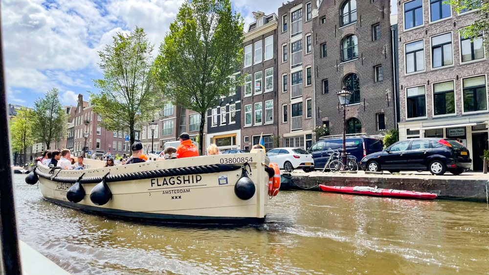
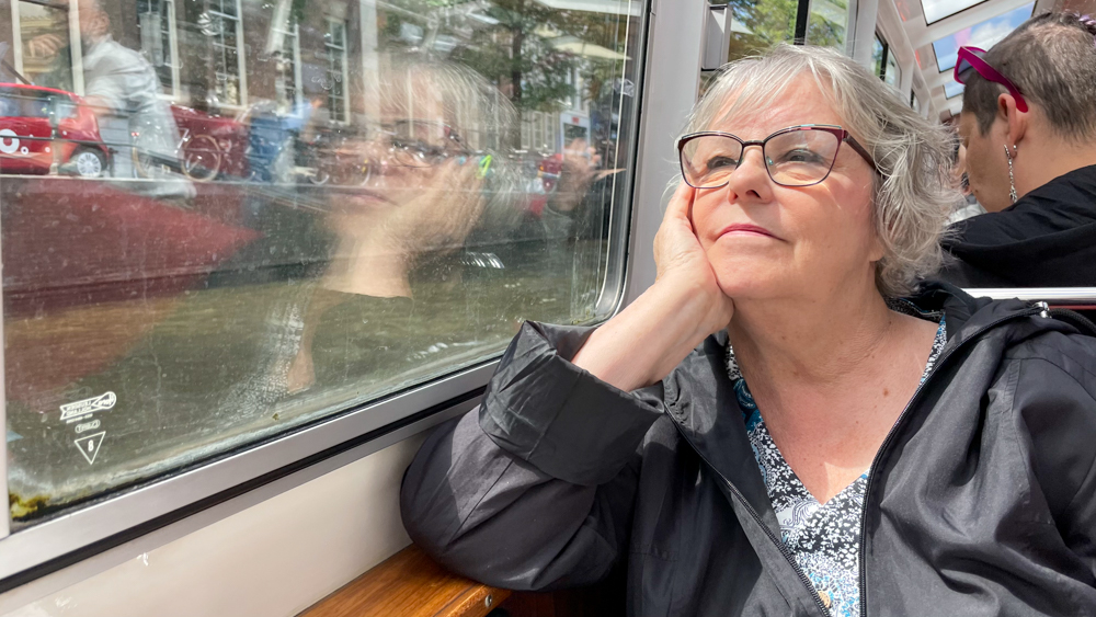
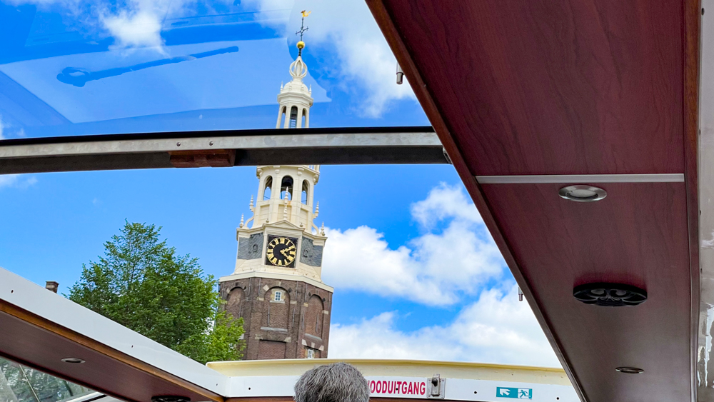
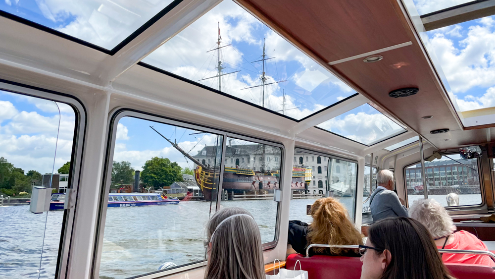
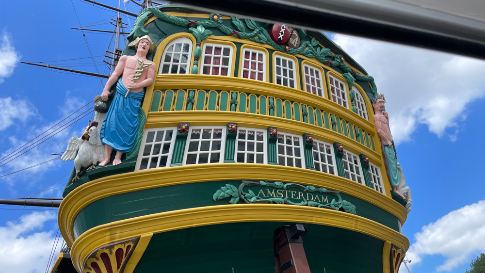
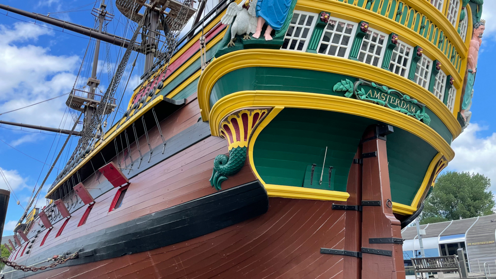
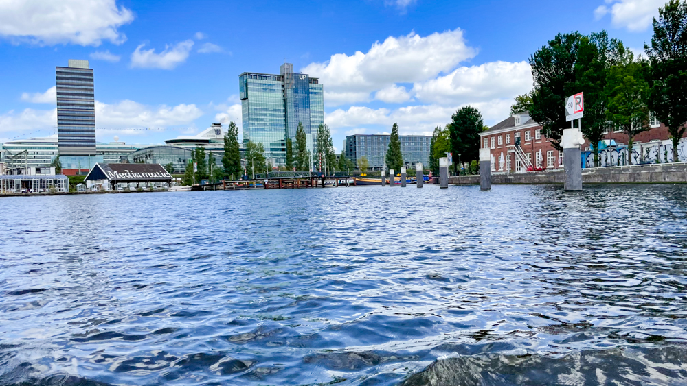
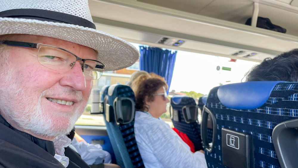
We took the “Amsterdam Highlights and Canal Cruise” excursion that included the bus ride to Amsterdam. The bus dropped us off at the ADAM Lookout Tower, where we spent a couple of hours touring the lookout and waiting for our canal boat (the boat was late for some reason).
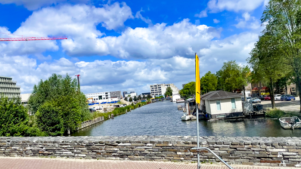
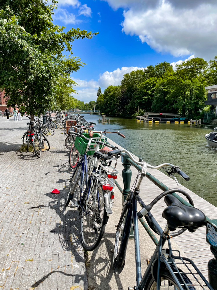
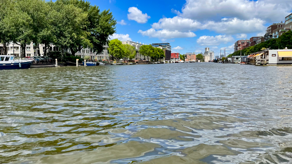
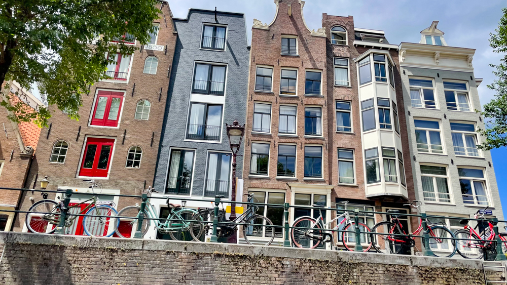
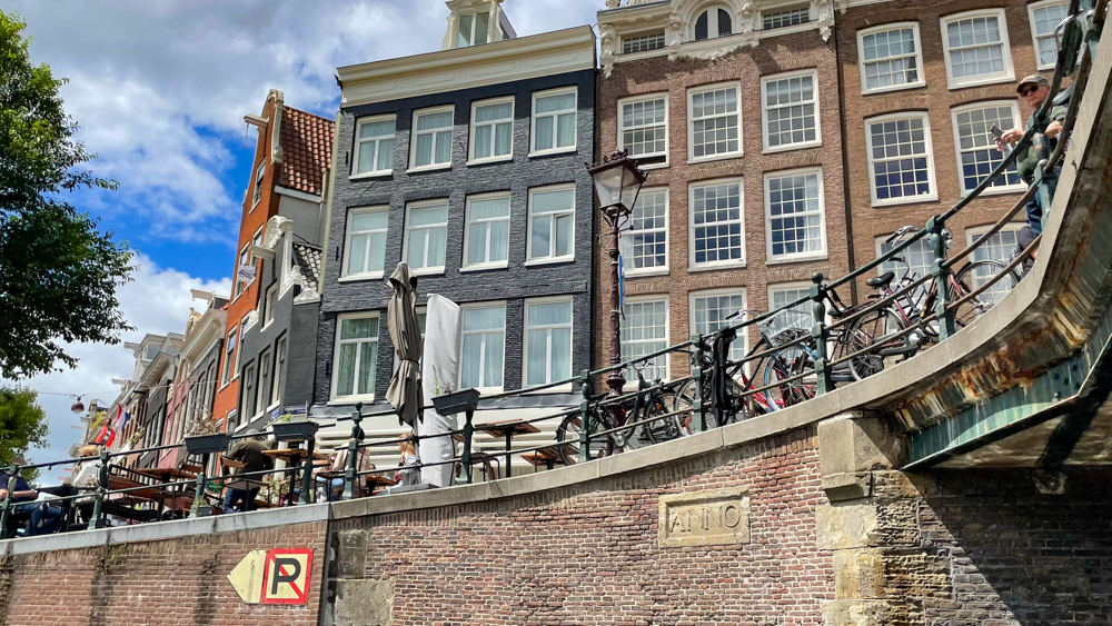
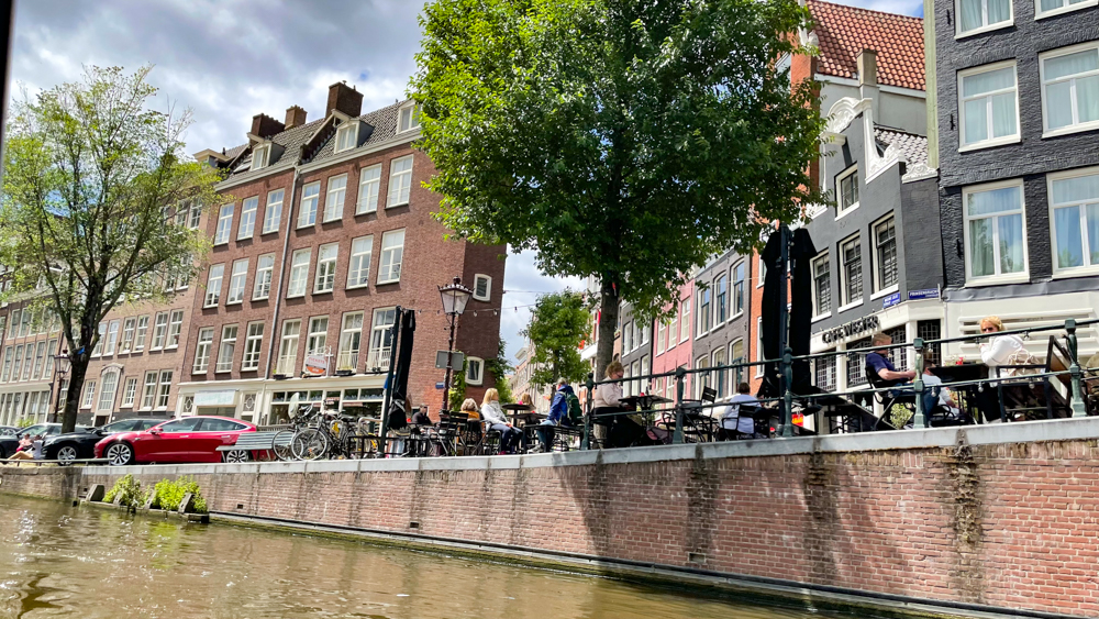
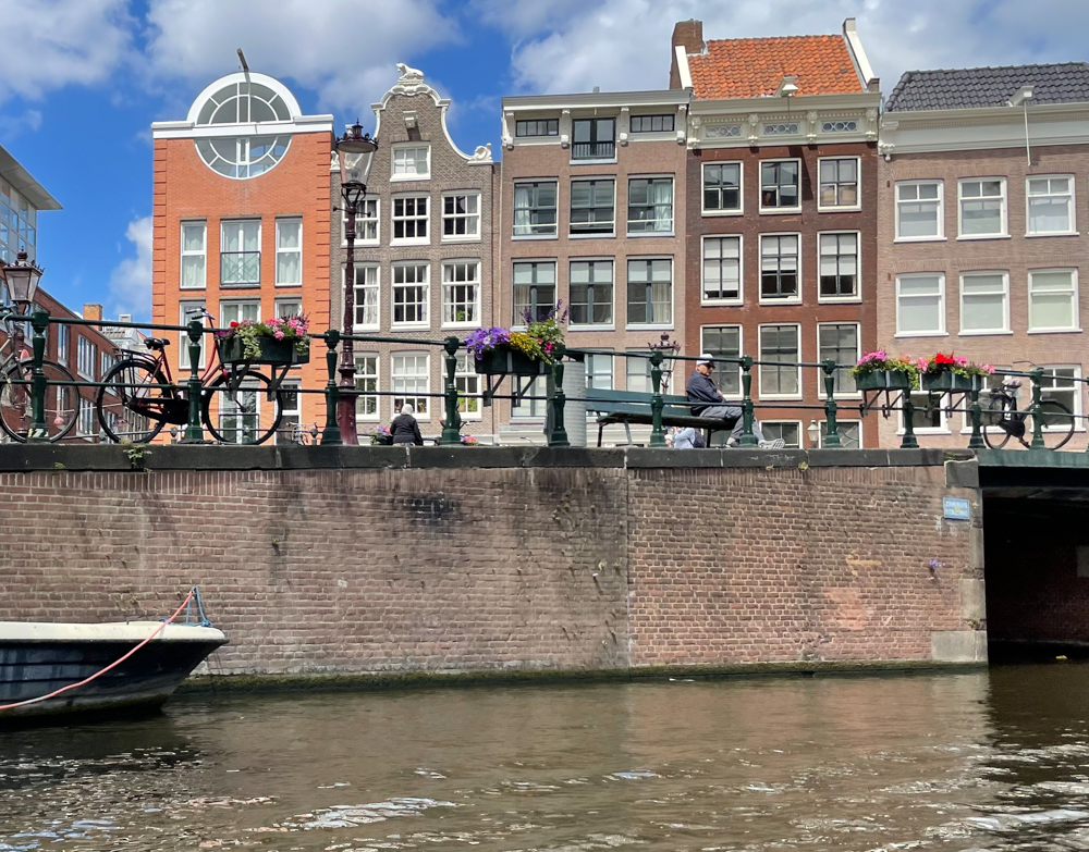
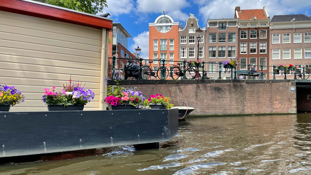
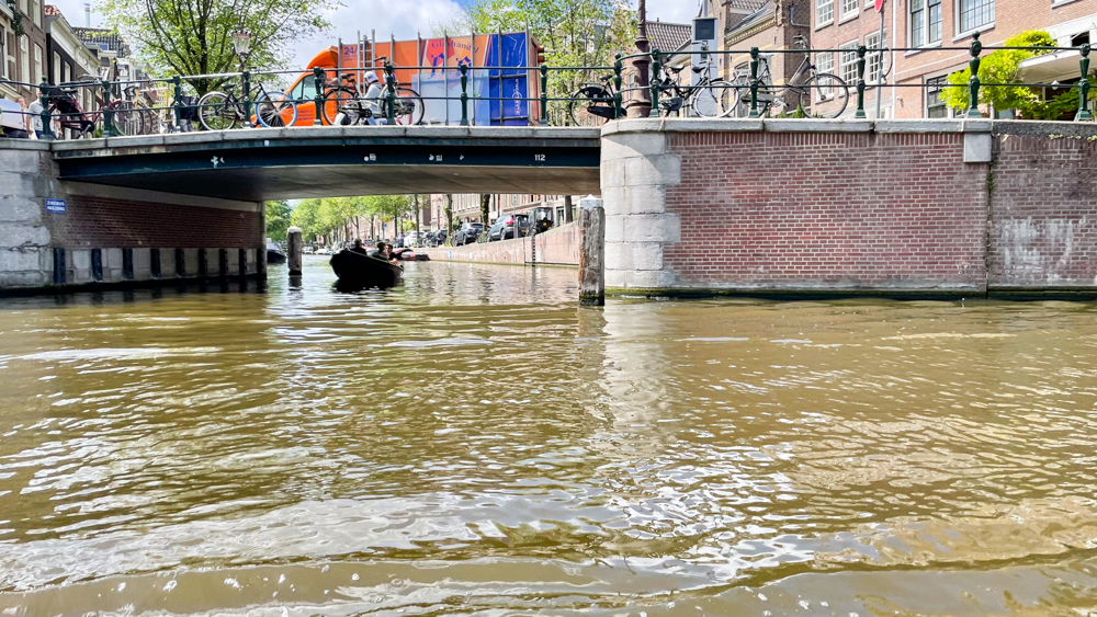
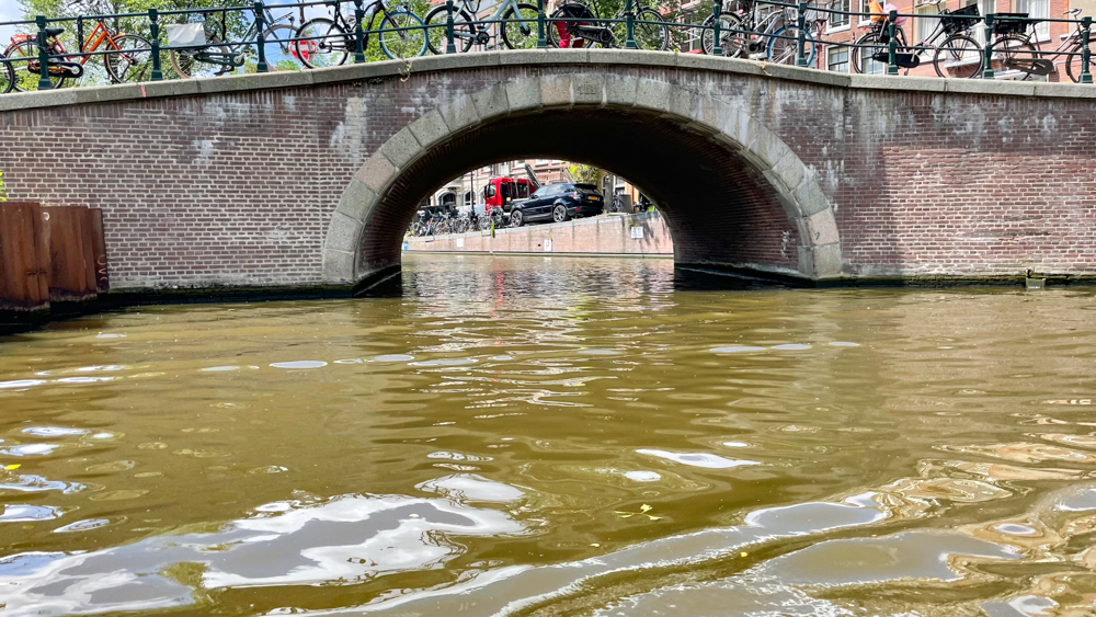
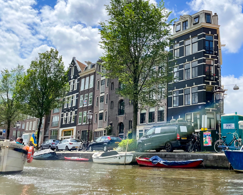
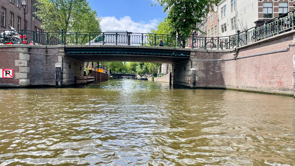
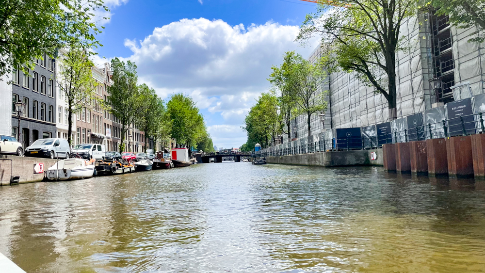
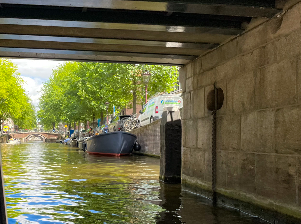
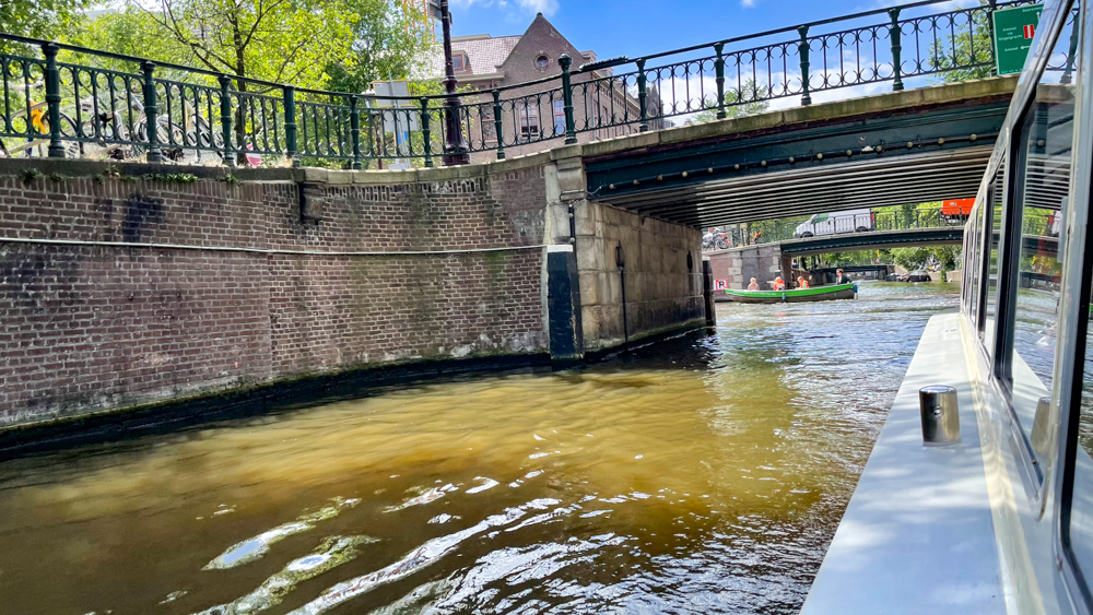
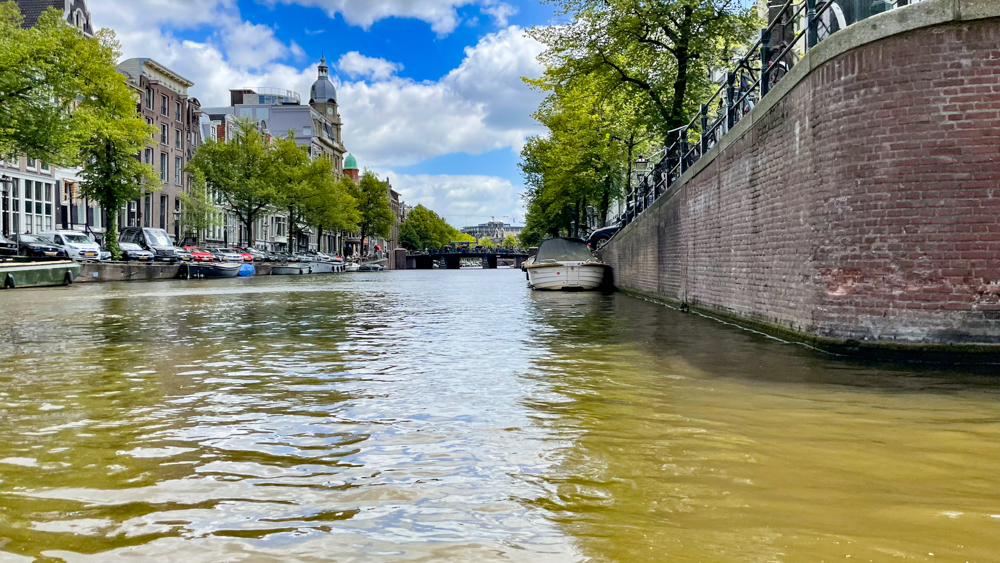
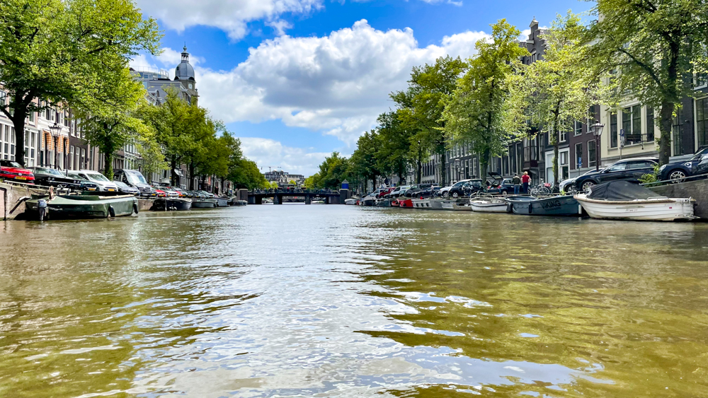
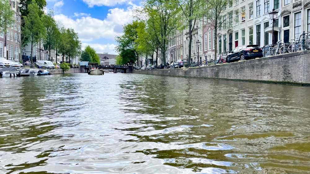
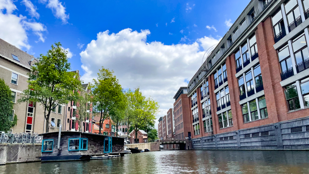
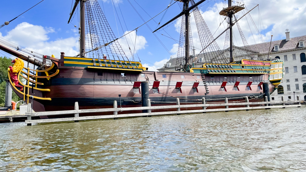
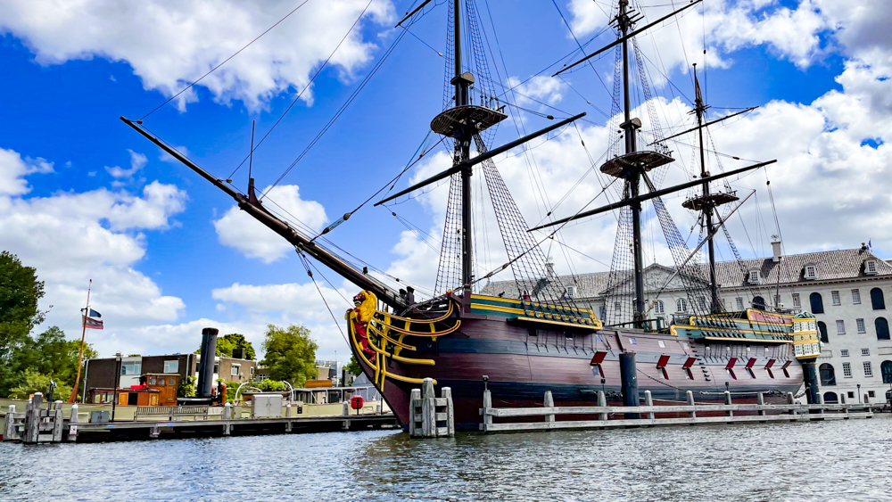
Amsterdam is located in North Holland and referred to as the “Venice of the North” due to the large number of canals which form a UNESCO World Heritage Site.
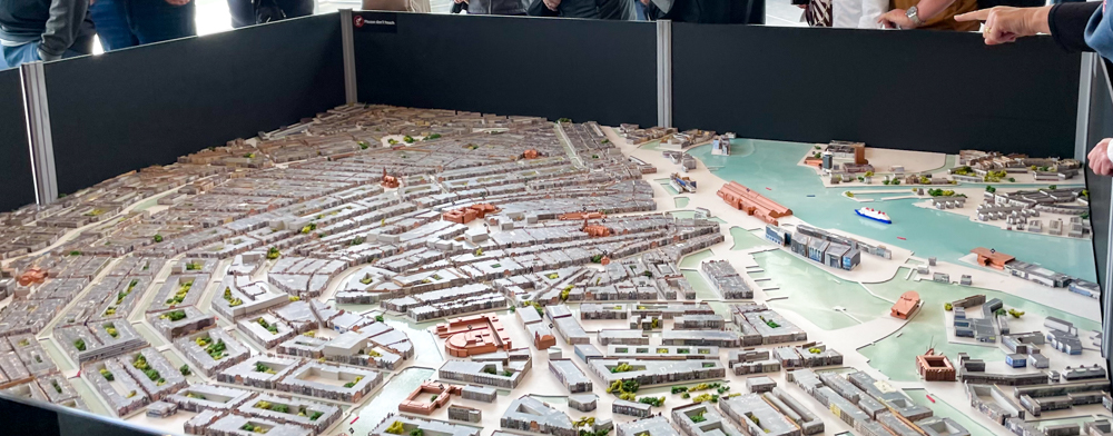
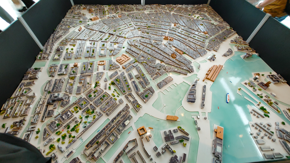
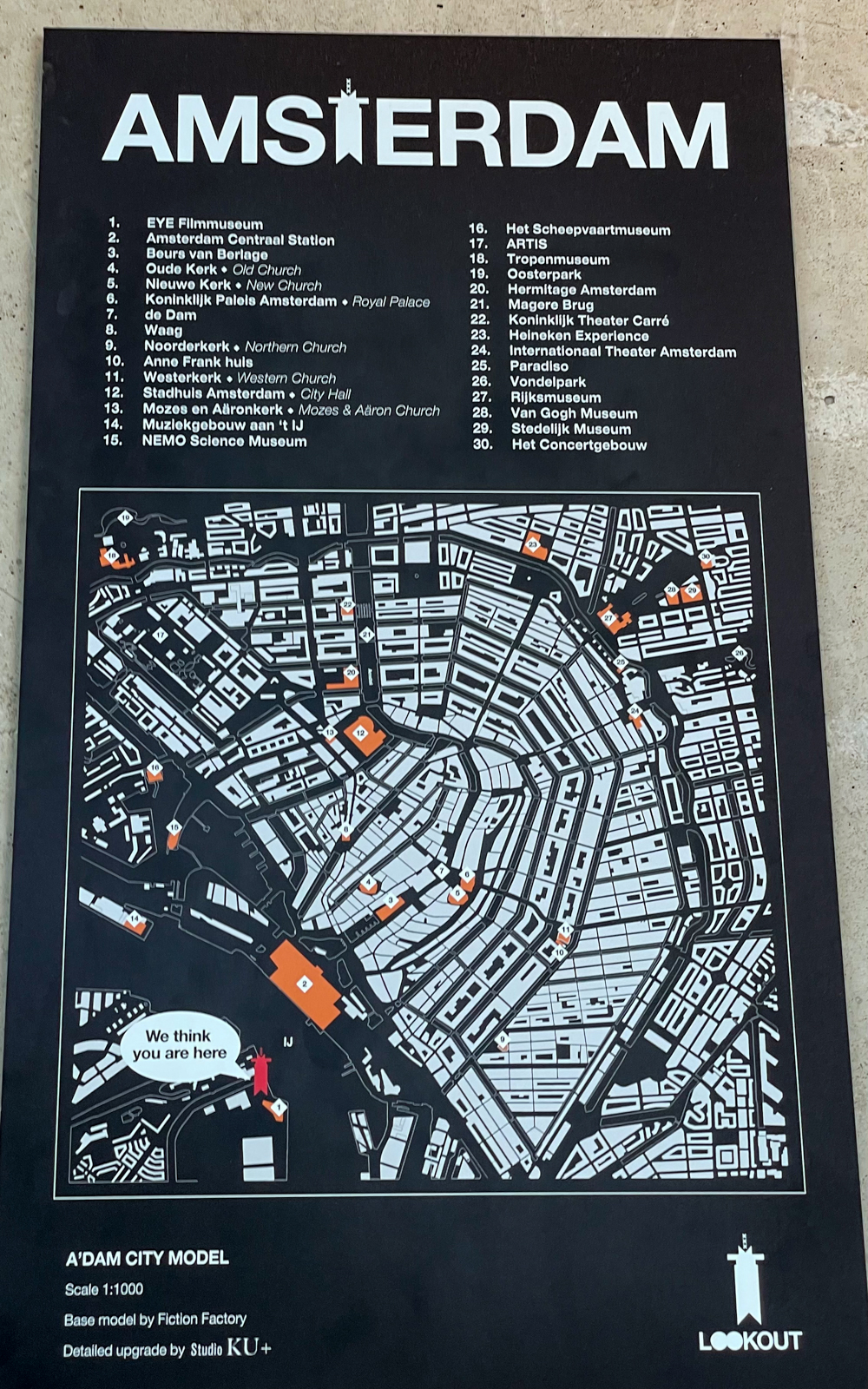
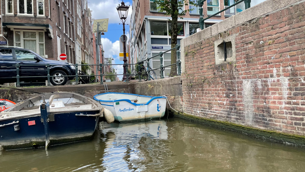
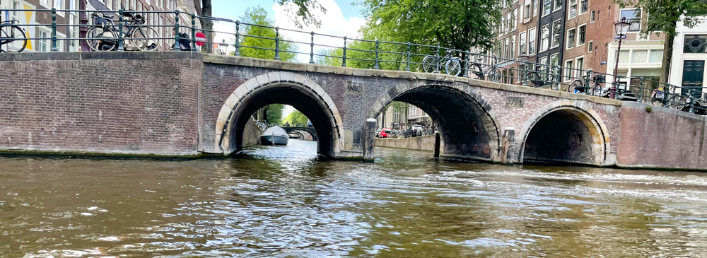
In one very ambitious expansion project that took 50 years, the 3 main canals of the city were dug and the houses around them were built. Completed around 1660, it made the city grow to 4 times its size and gave it the most intricate and efficient system of navigable waterways in the world. The famous canals of Amsterdam were a result of good city planning (to keep the Dutch heads above water) and easily serve as additional streets for transportation. Consequently, the canal boat is a perfect way of getting around. See the map: The purple balloon is where the ADAM Lookout Tower is located.
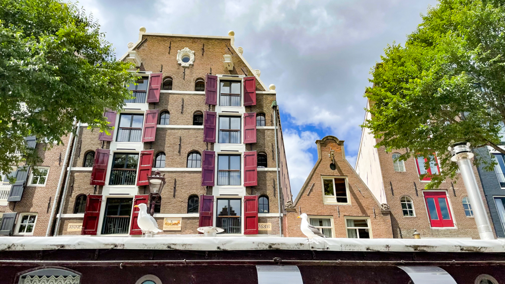
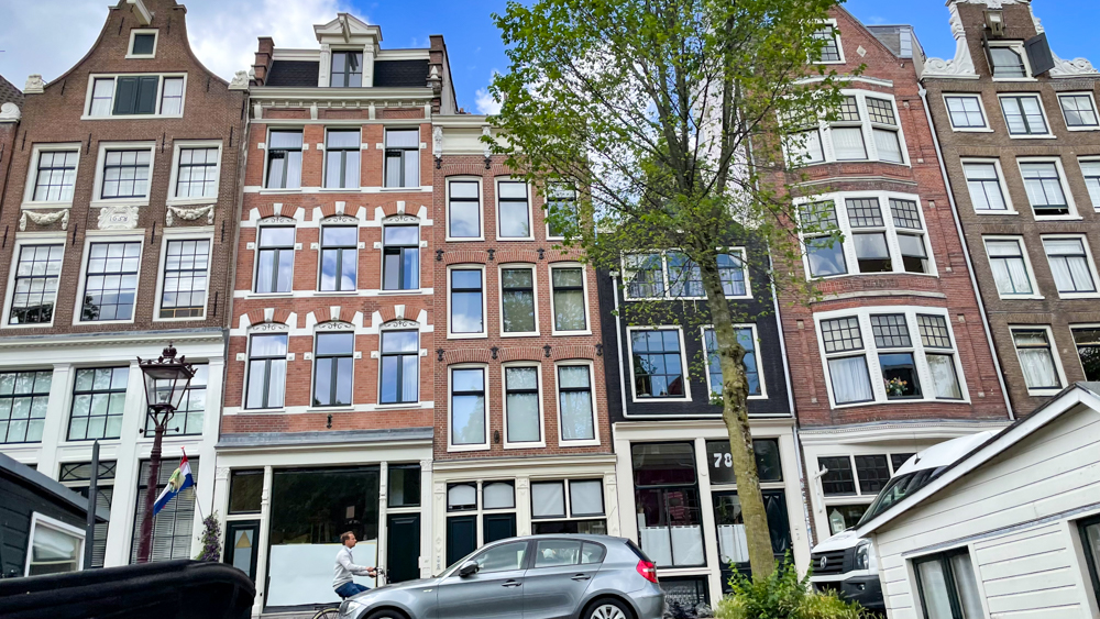
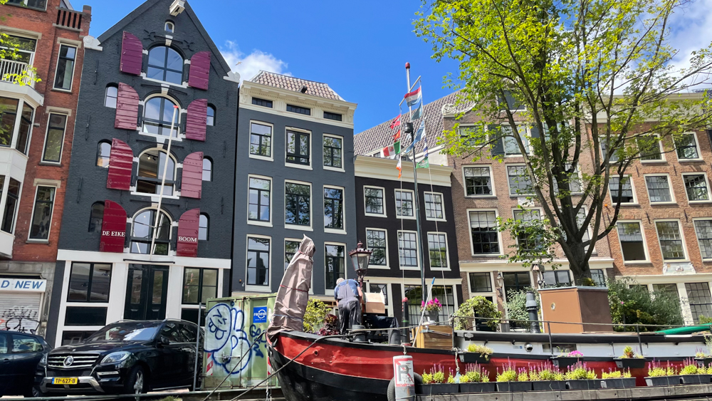
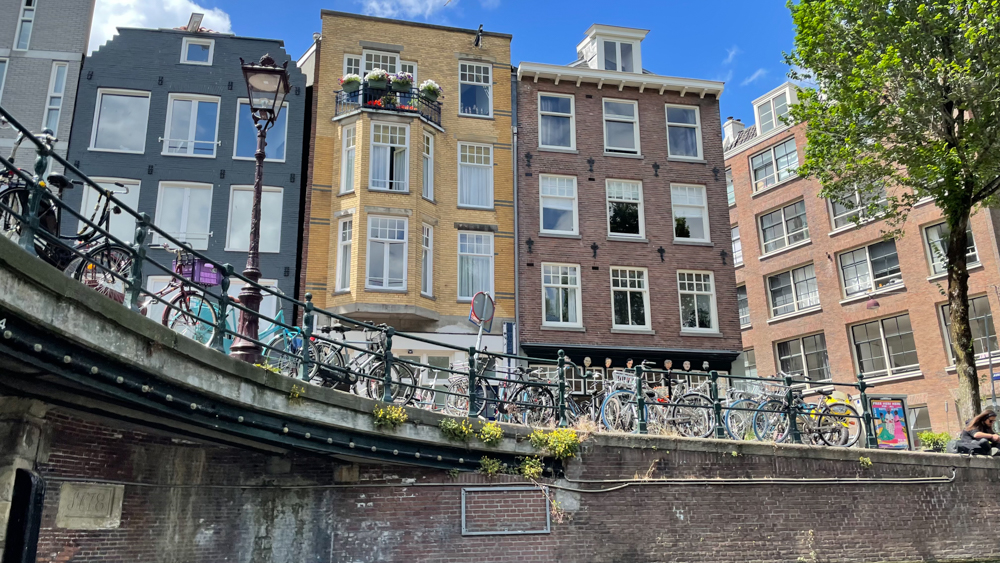
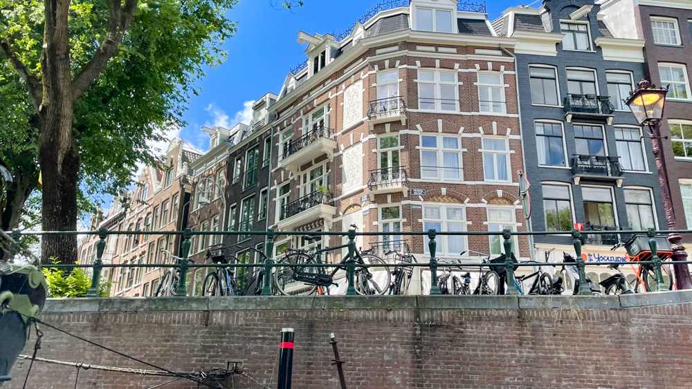
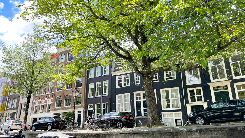
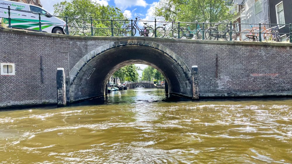
During our canal ride we enjoyed the architecture of Amsterdam’s houses. Due to the lack of space in the 17th century the houses were mostly built narrow, no more than 30 feet wide. We enjoyed the views, including the many arched bridges that span across the canals.
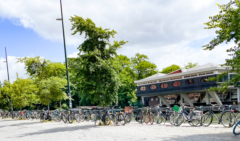
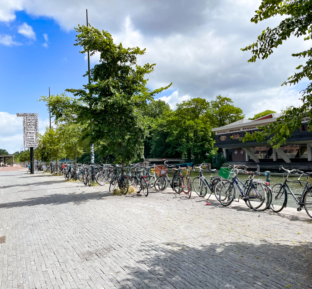
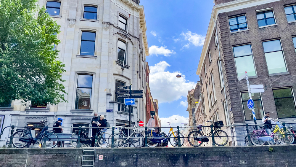
Amsterdam is flat and consequently a bit windy. It’s also popular for bicyclists and there were many bicycles parked around the city. They have very good bicycle paths up and down the canals.
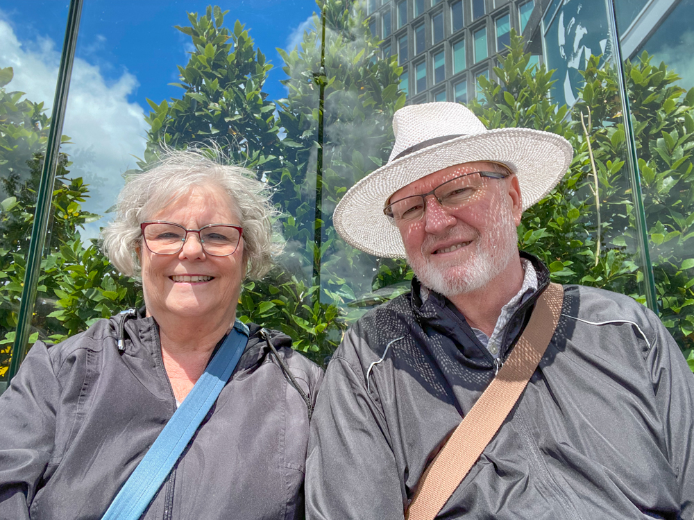
The weather was partial clouds and occasional wind causing us to need our jackets off and on. A totally wonderful day.
IJmuiden and Amsterdam Photos
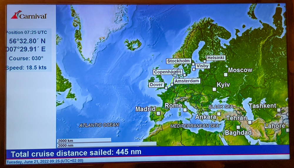
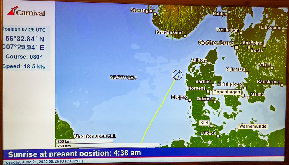
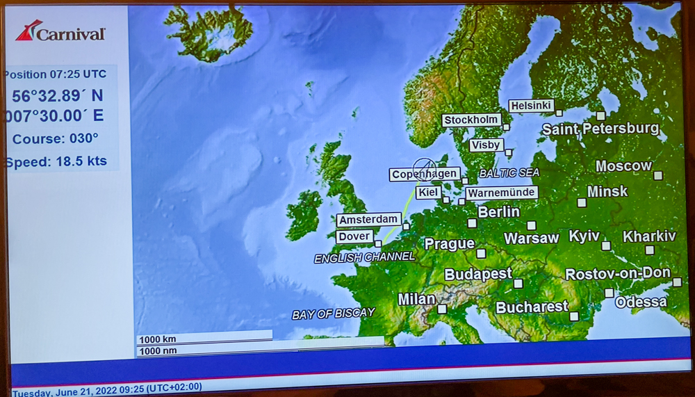
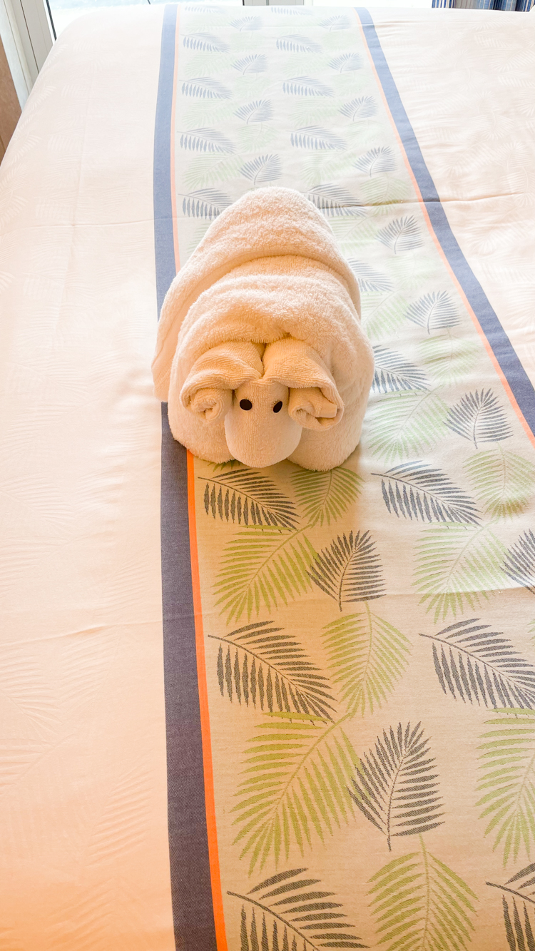
Sea Days
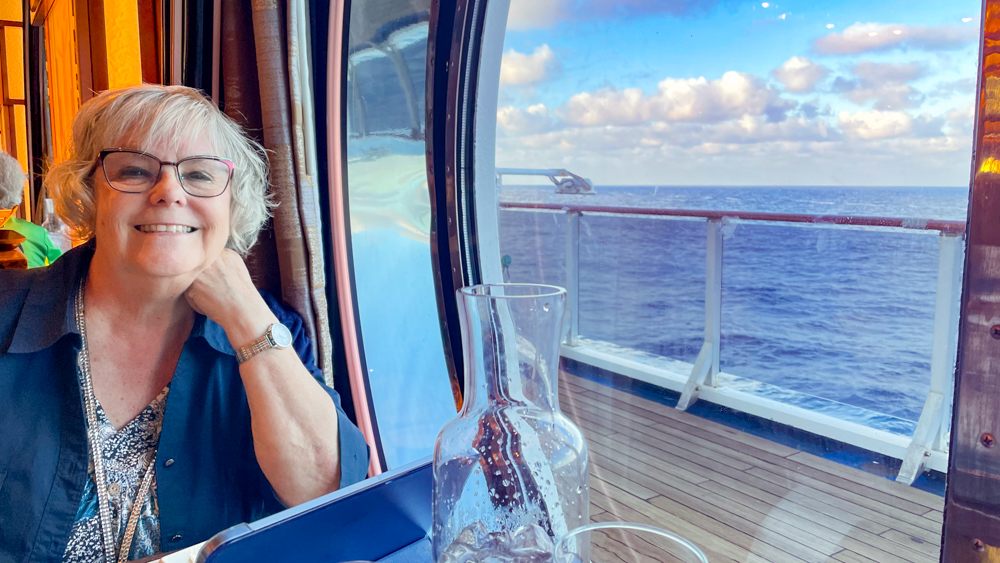
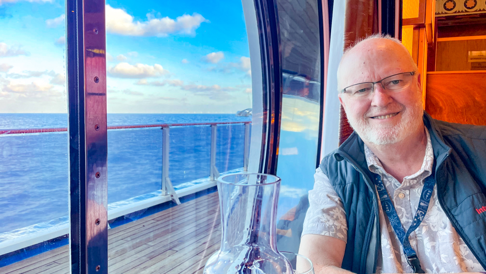
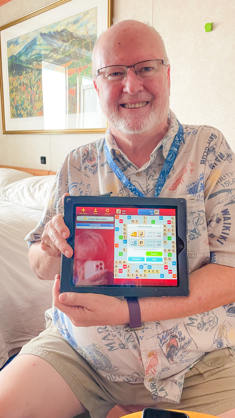
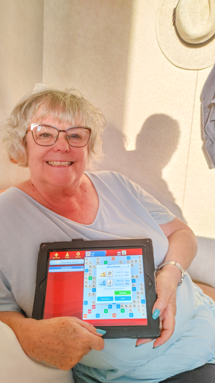
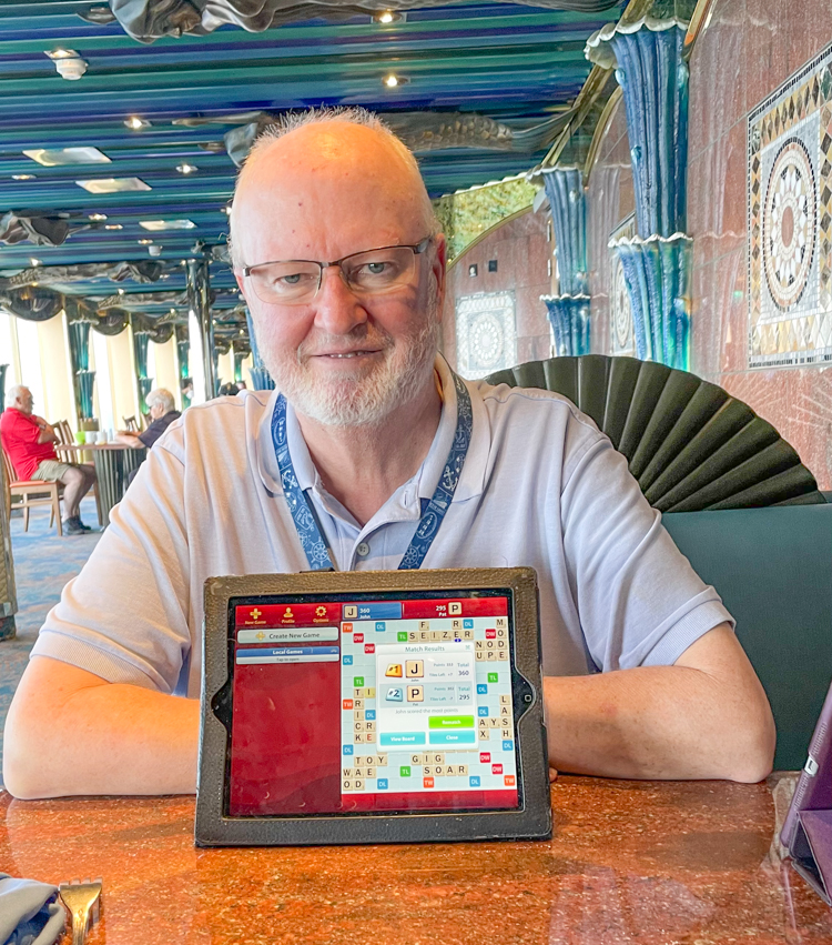
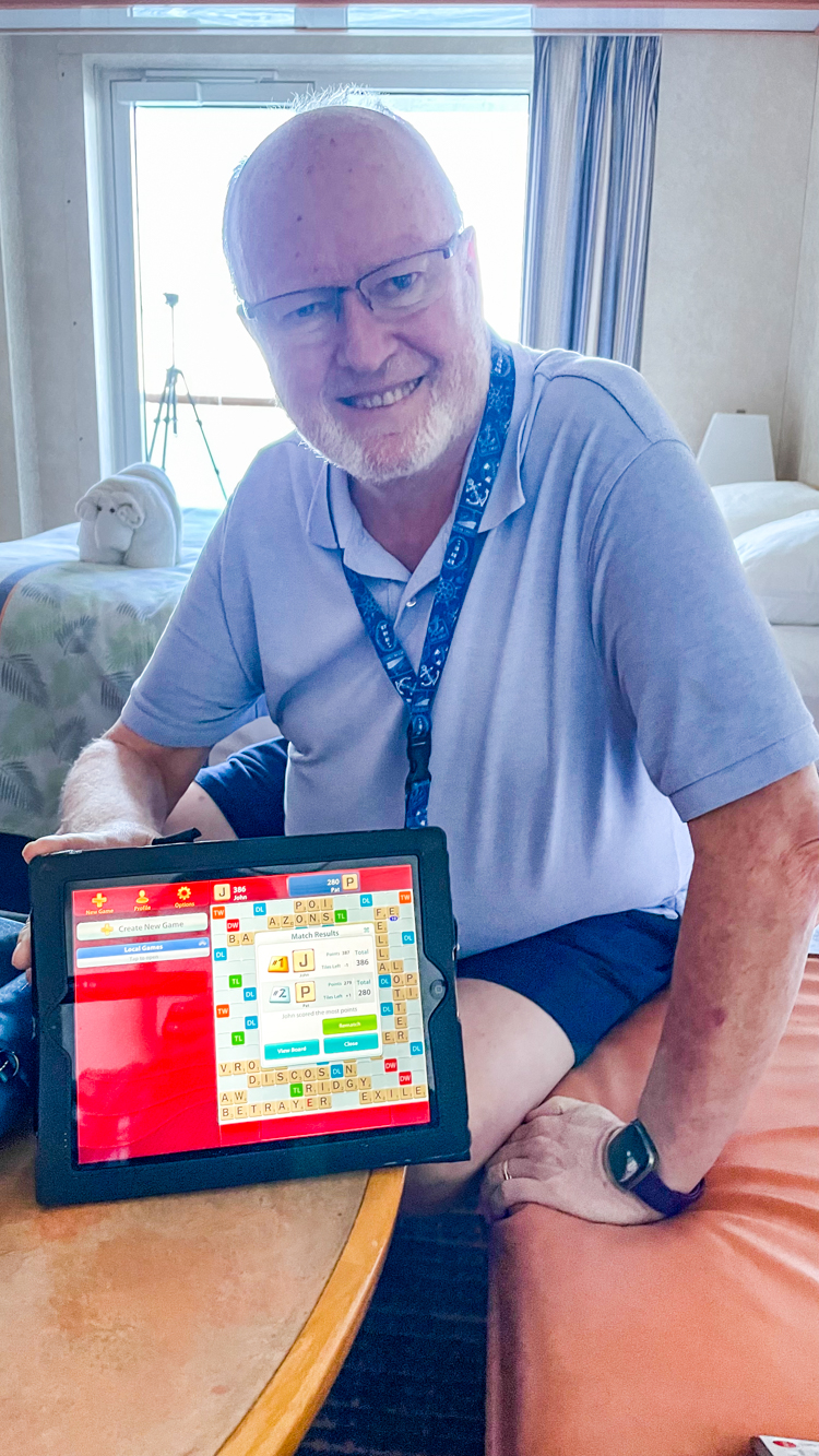
Tuesday, June 21st and Wednesday June 22nd were a Sea Days. As usual with Sea Days, we pretty much relaxed, played some Scrabble and enjoyed just cruising. On Tuesday we attended a presentation on upcoming ports. We won a drawing for a goodie bag of items from the gift shop.
John and I played in a Group Slot Pull. There were 19 people who put in $25 each. We won $43 each. Since we used our free $25 Cruise cash, it was a win-win for us.
On Wednesday, we played Deal or No Deal. I won $25 Bingo package and John won $50 Cash!
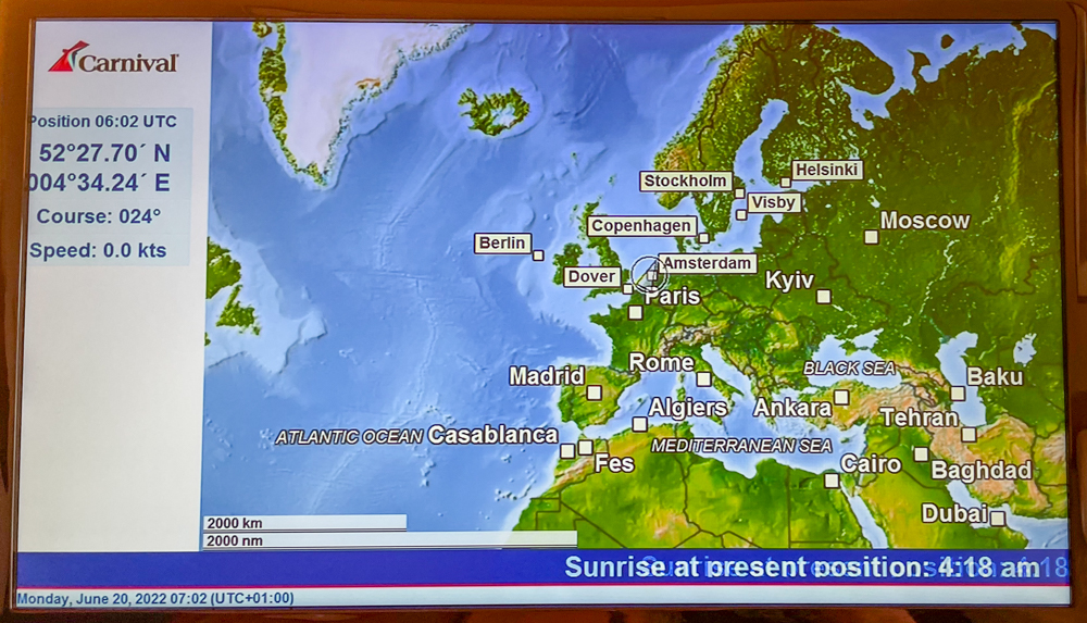
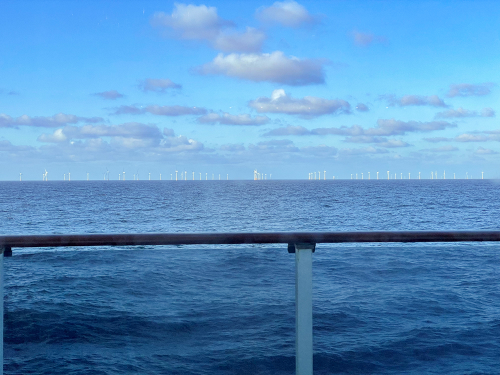
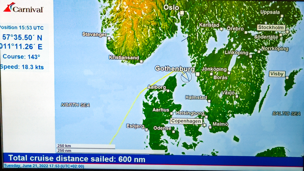
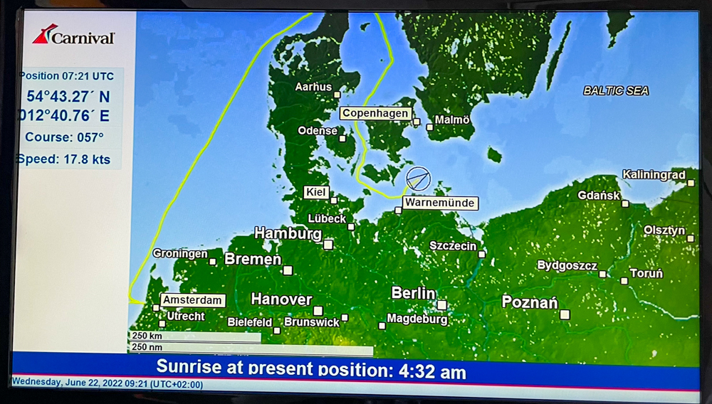
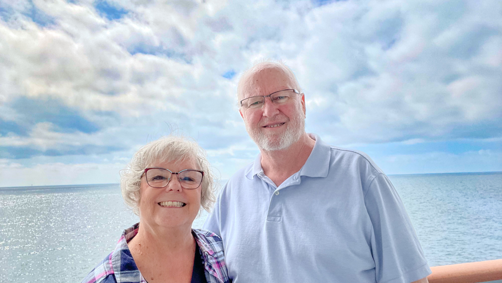
Going through the Baltic Sea was pretty calm and not too windy. Temperatures are warming up and John was back to wearing shorts.
The sea is surprisingly shallow, with a depth of less than 100 feet.