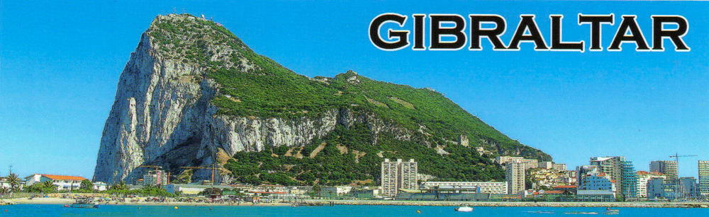
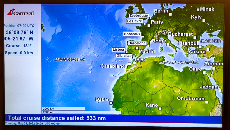
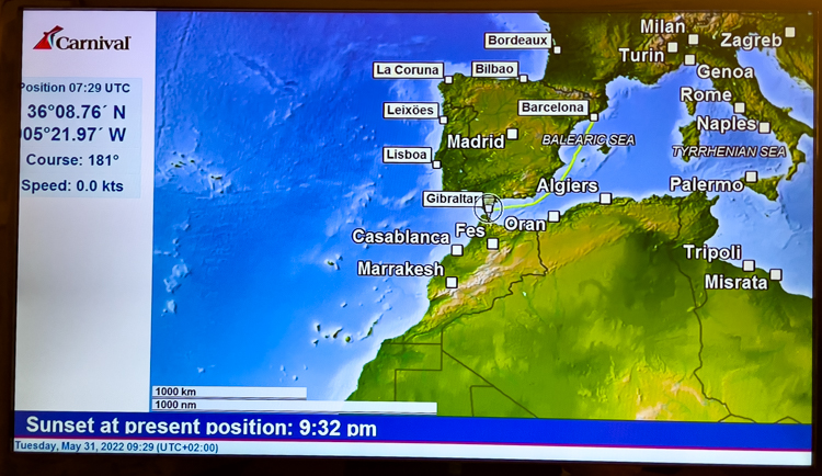
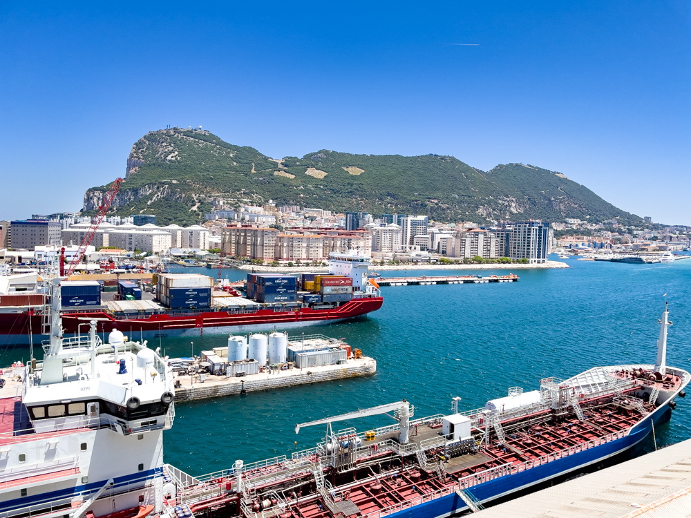
Tuesday, May 31st we docked in Gibraltar, UK. We decided to skip the ship tour, which would have been in a bus with up to 40 people and would have required us to walk up a large part of the trip up the “Rock”.
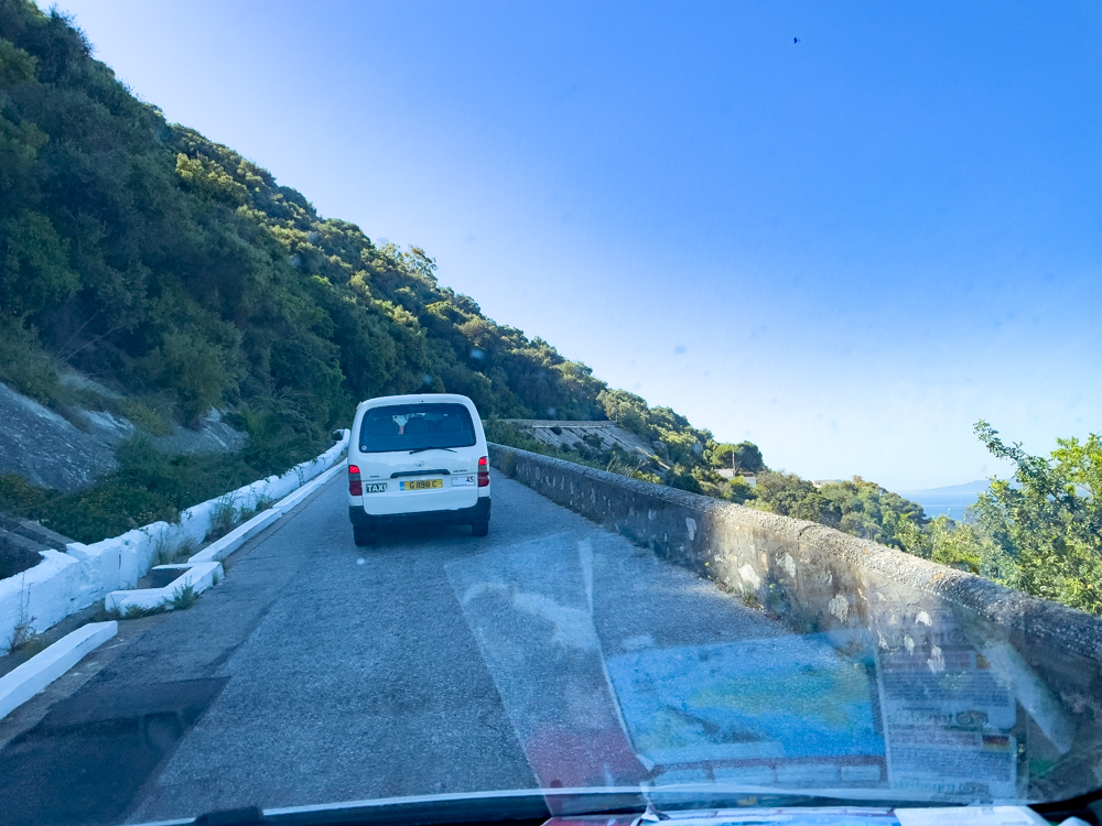
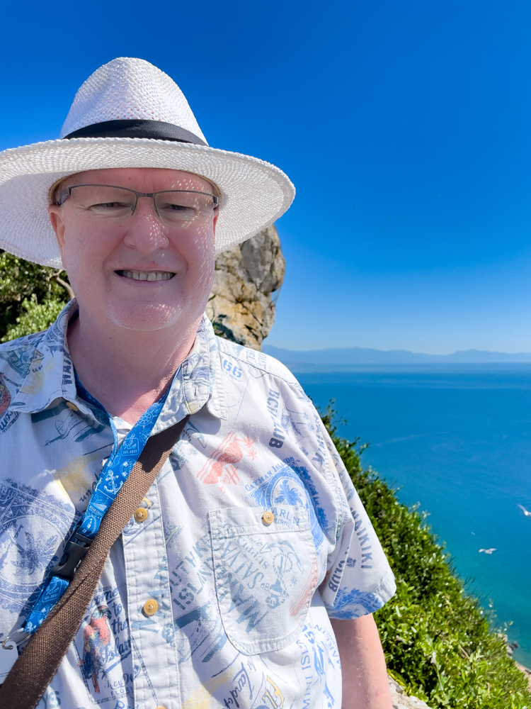
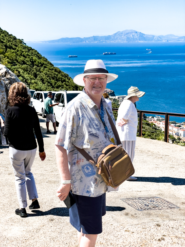
When we got off the ship, there were vans offering private tours for up to 8 people per van. We decided to take this option and were very happy with the results. We had an excellent guide and he drove us all the way to the top!!!
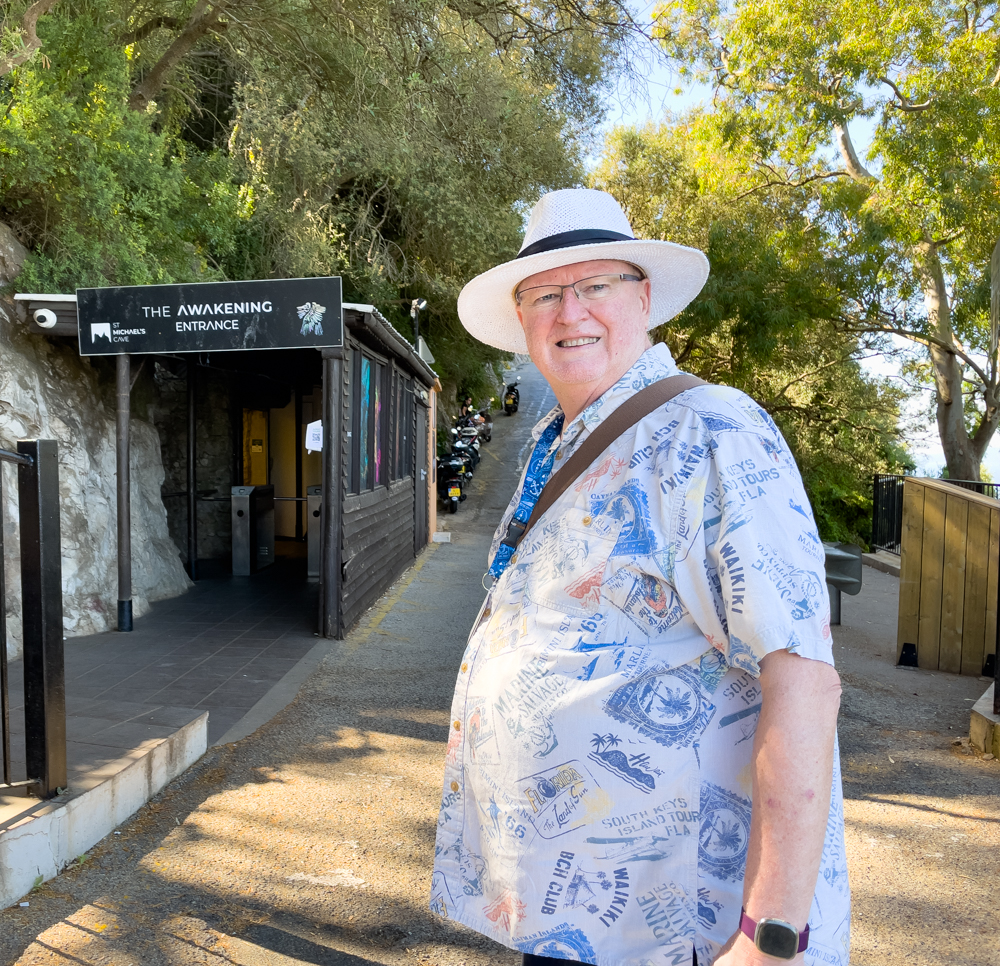
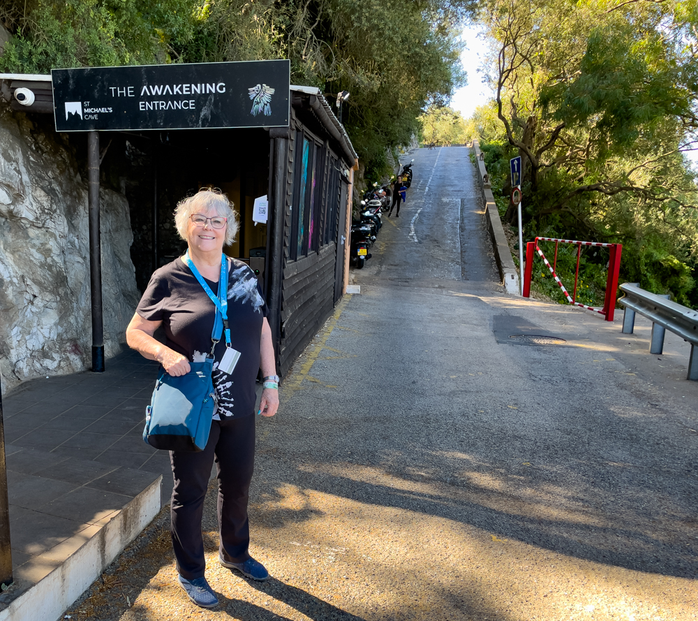
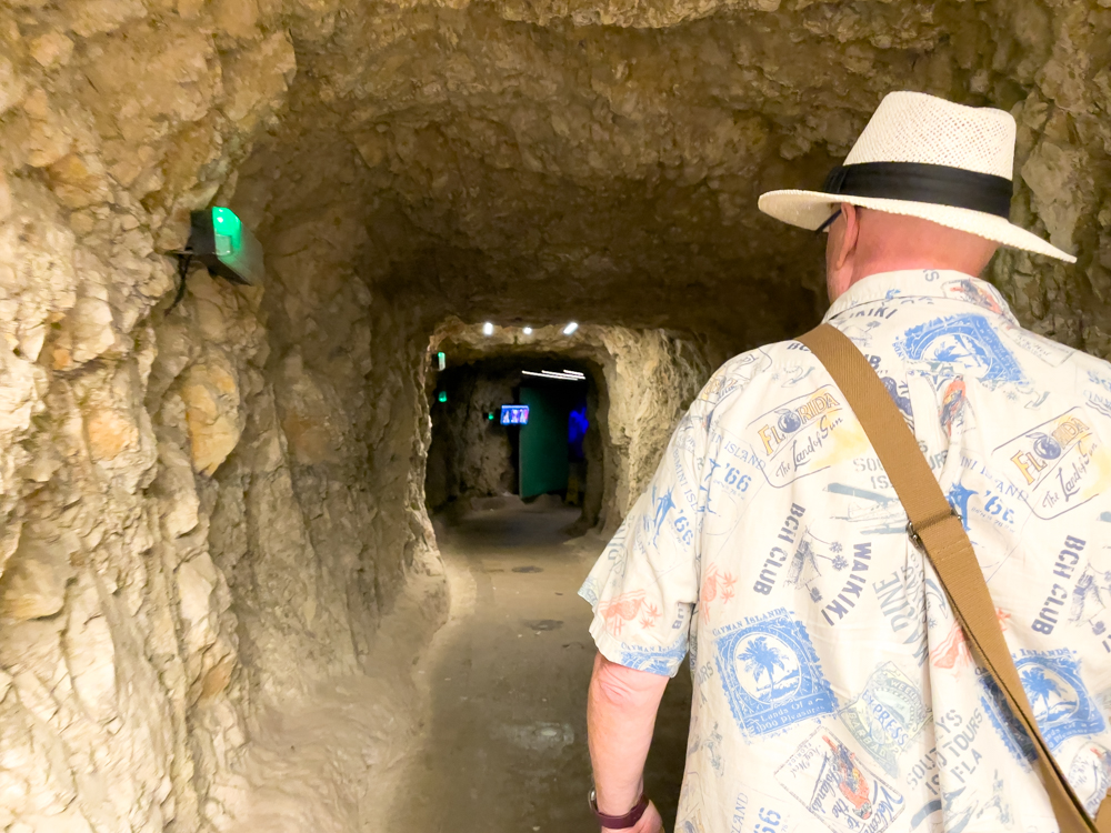
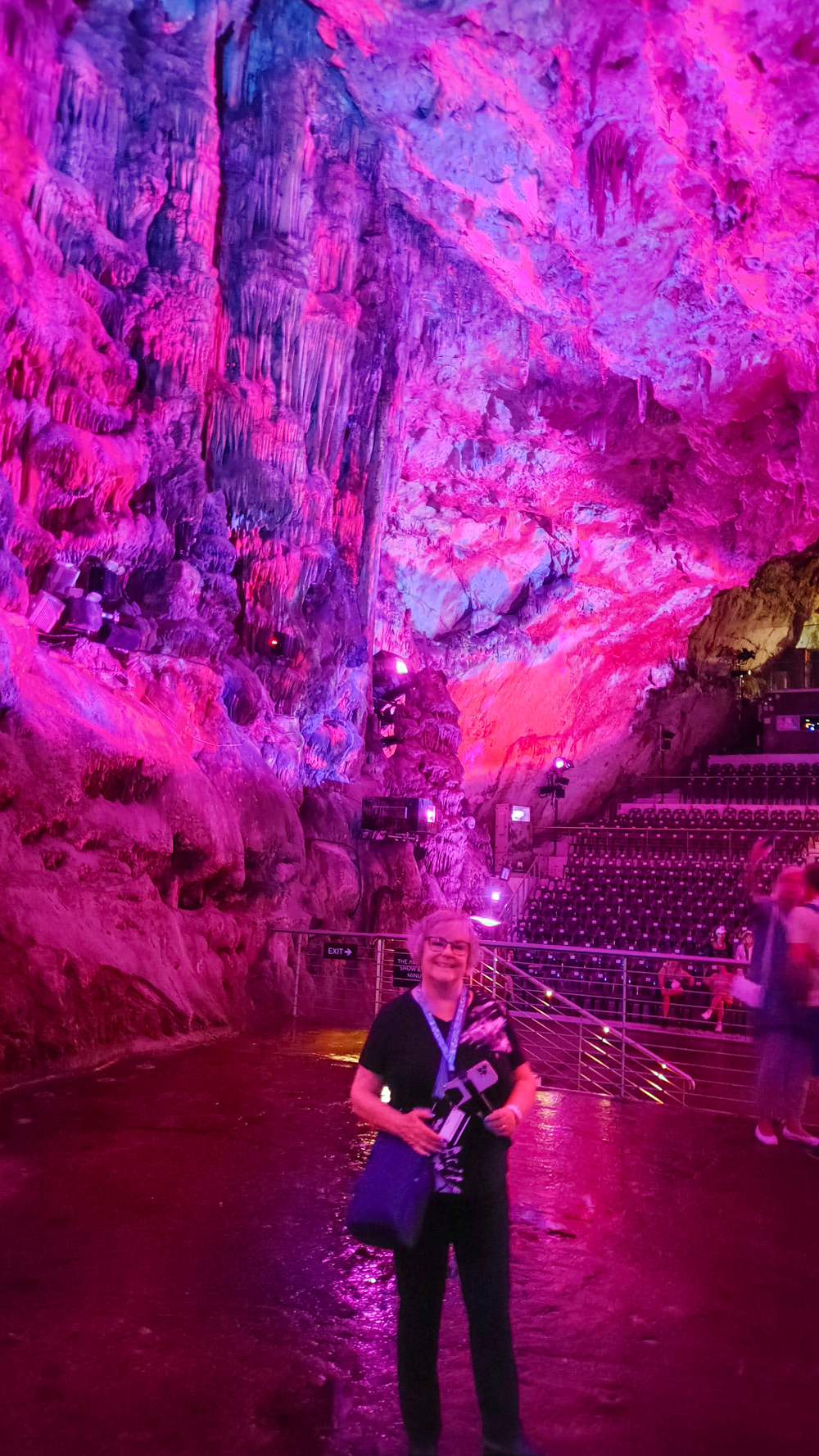
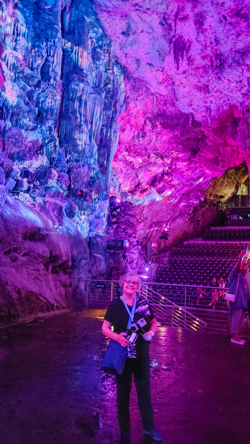
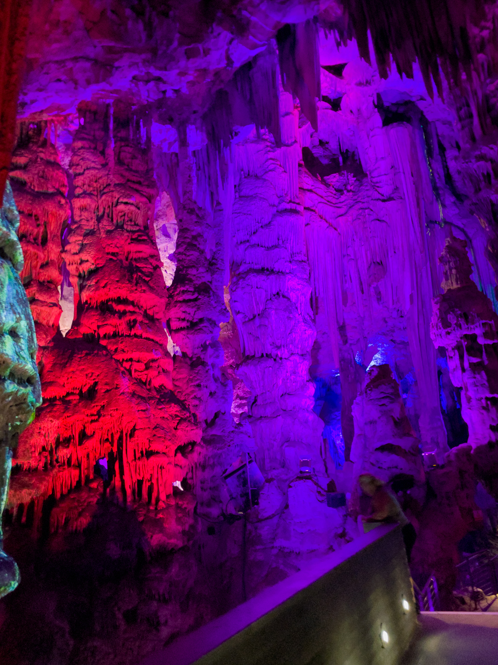
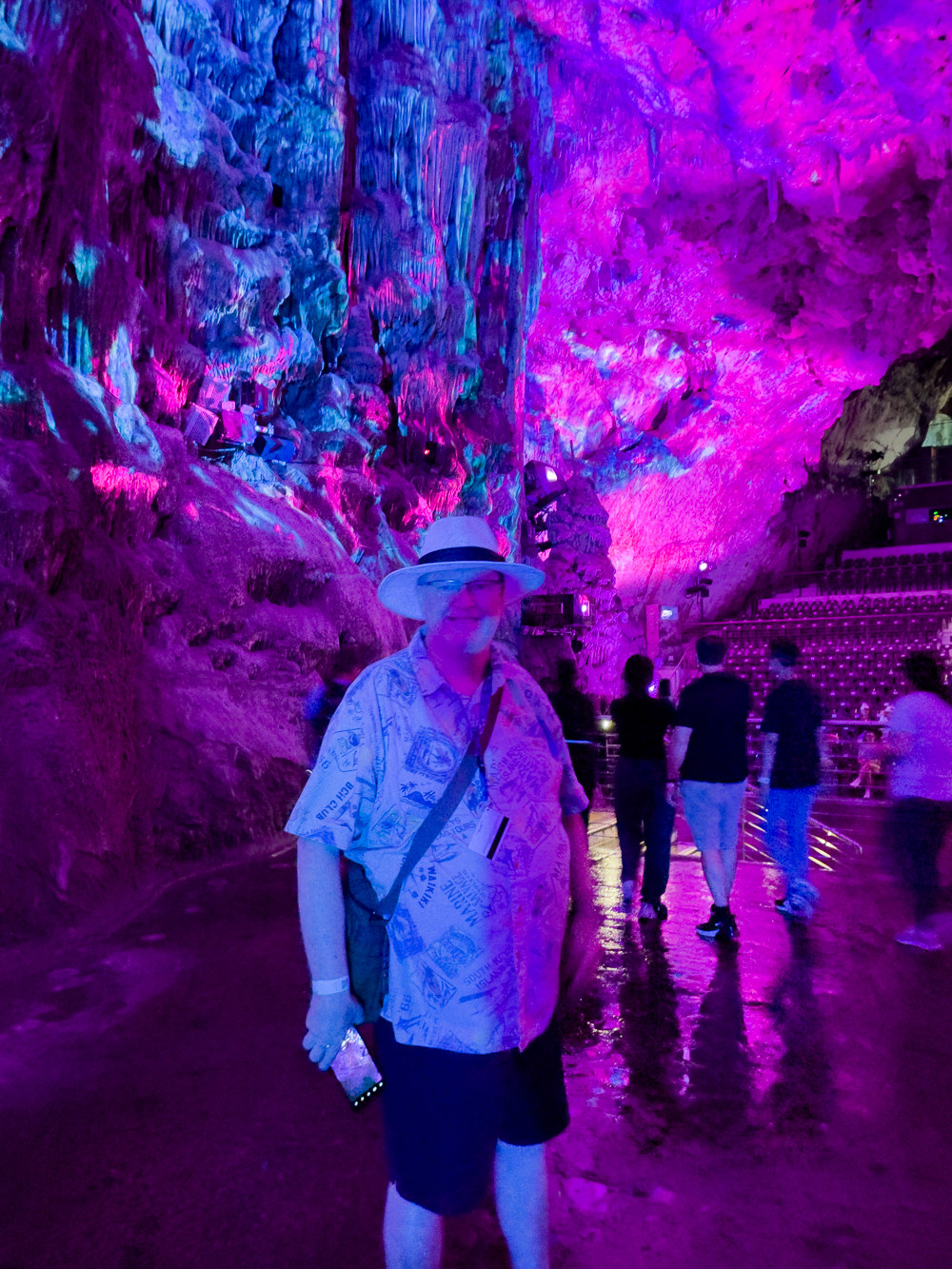
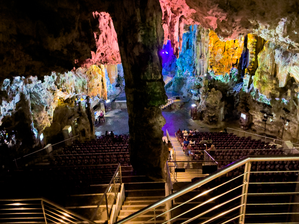
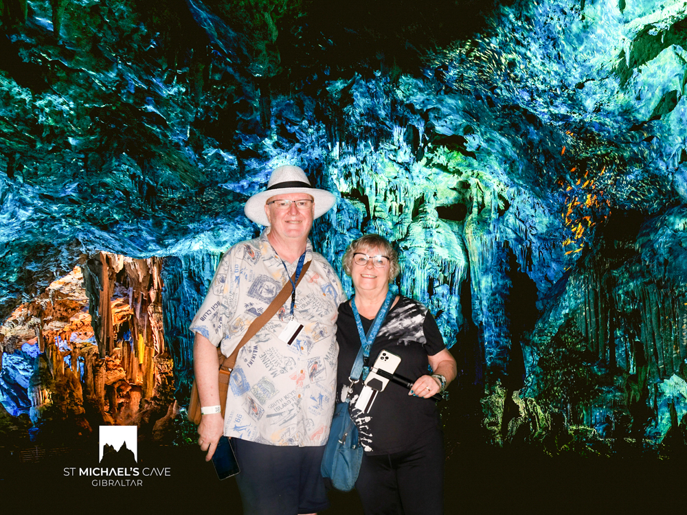
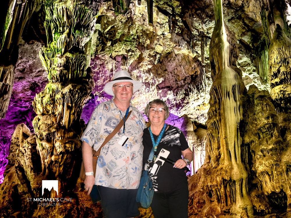
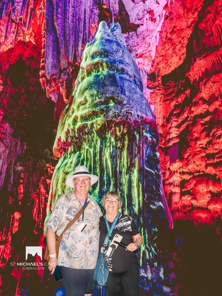
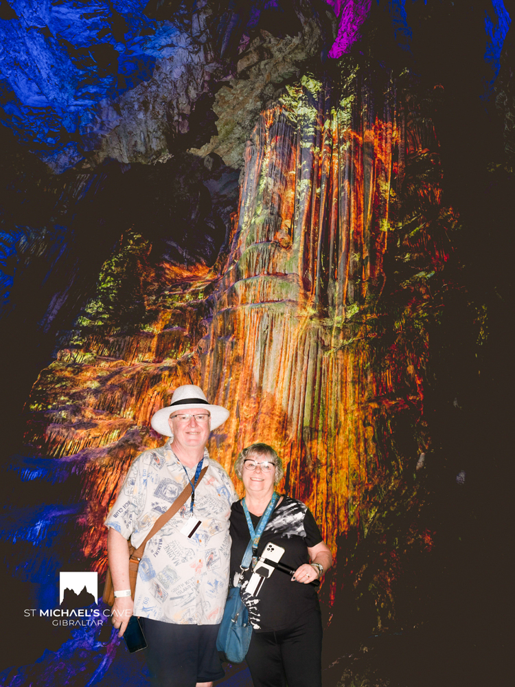
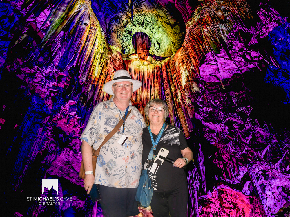
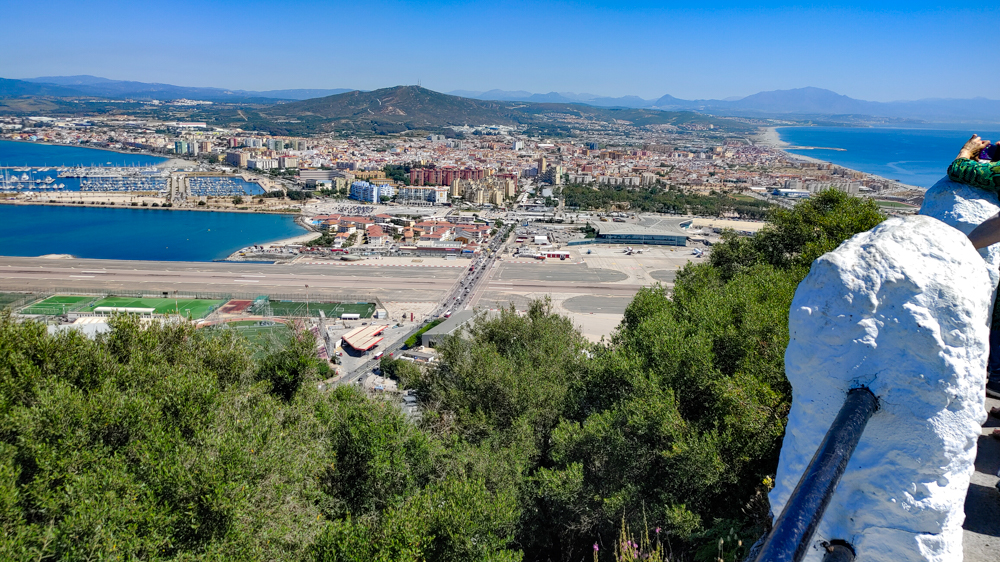
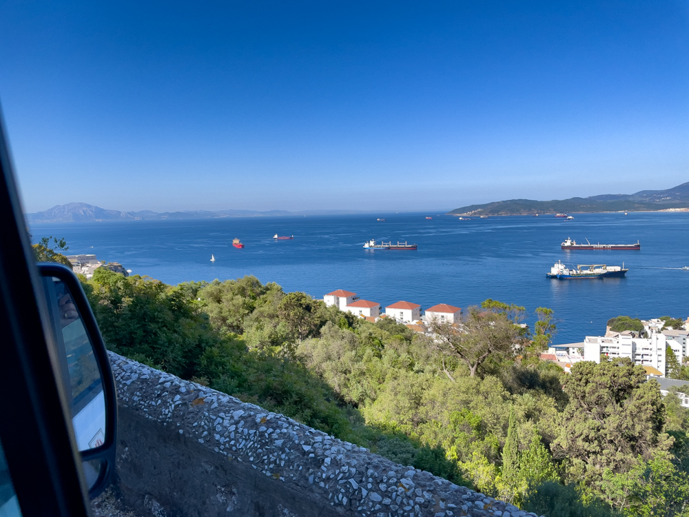
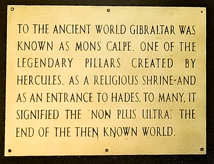
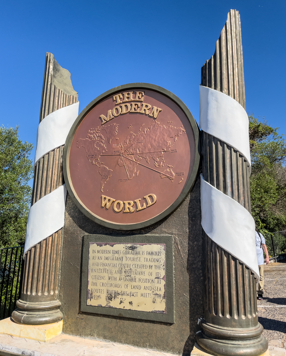
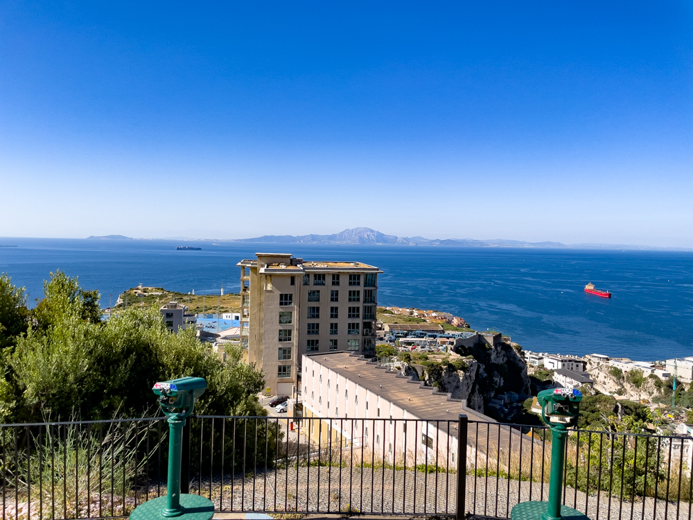
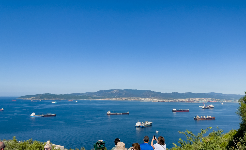
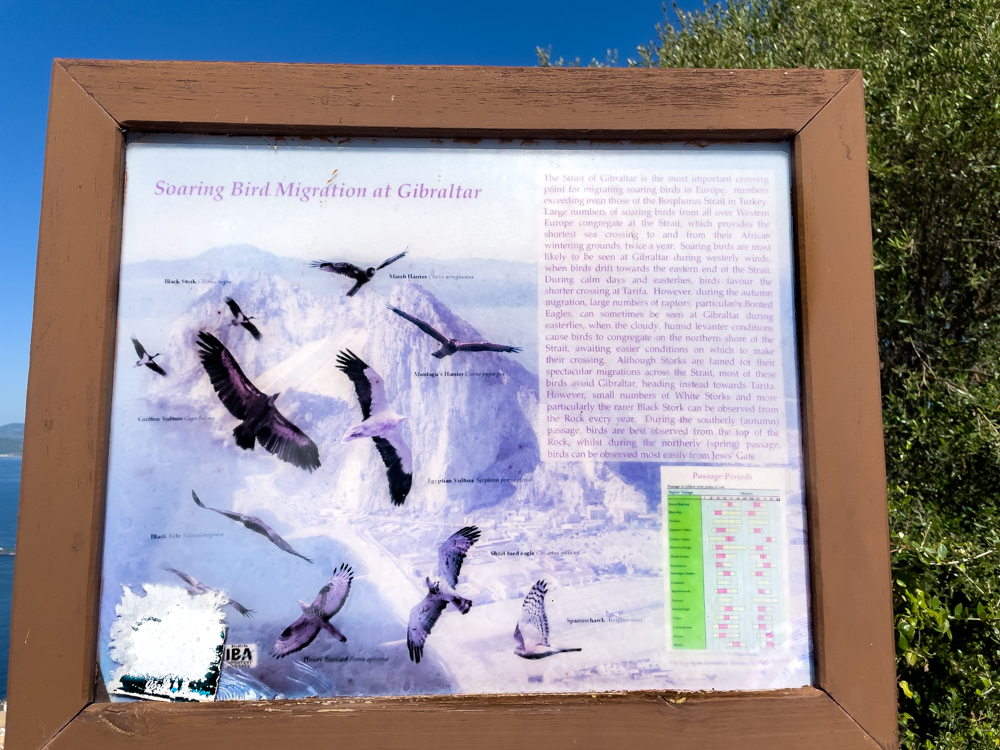
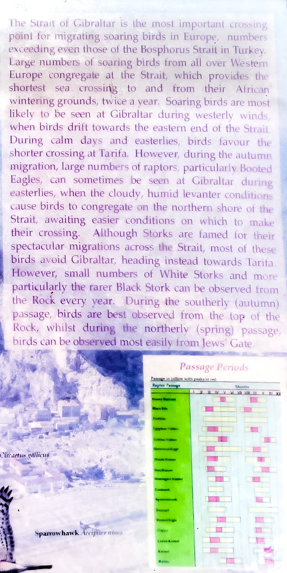
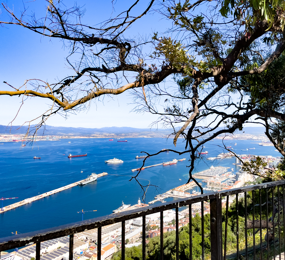
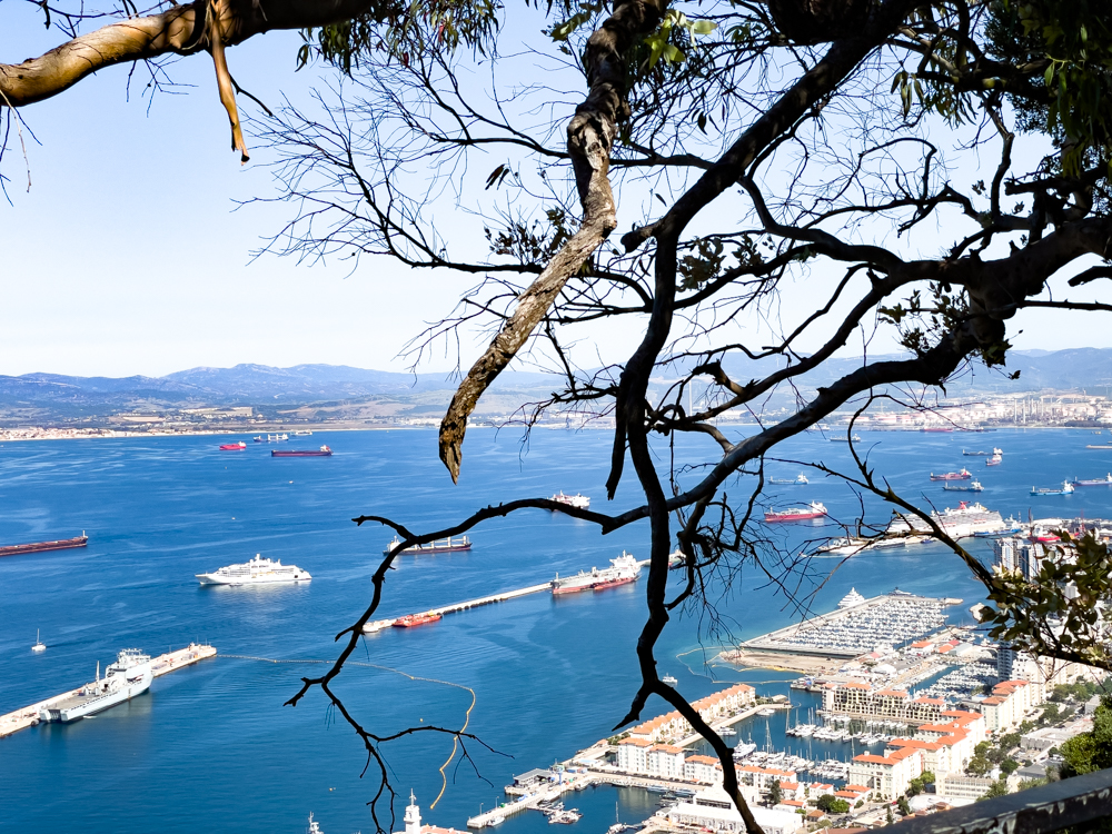
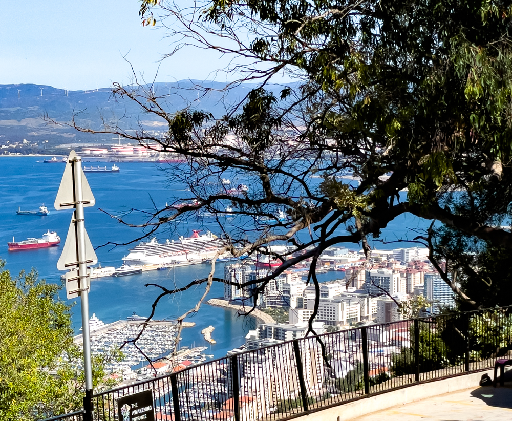
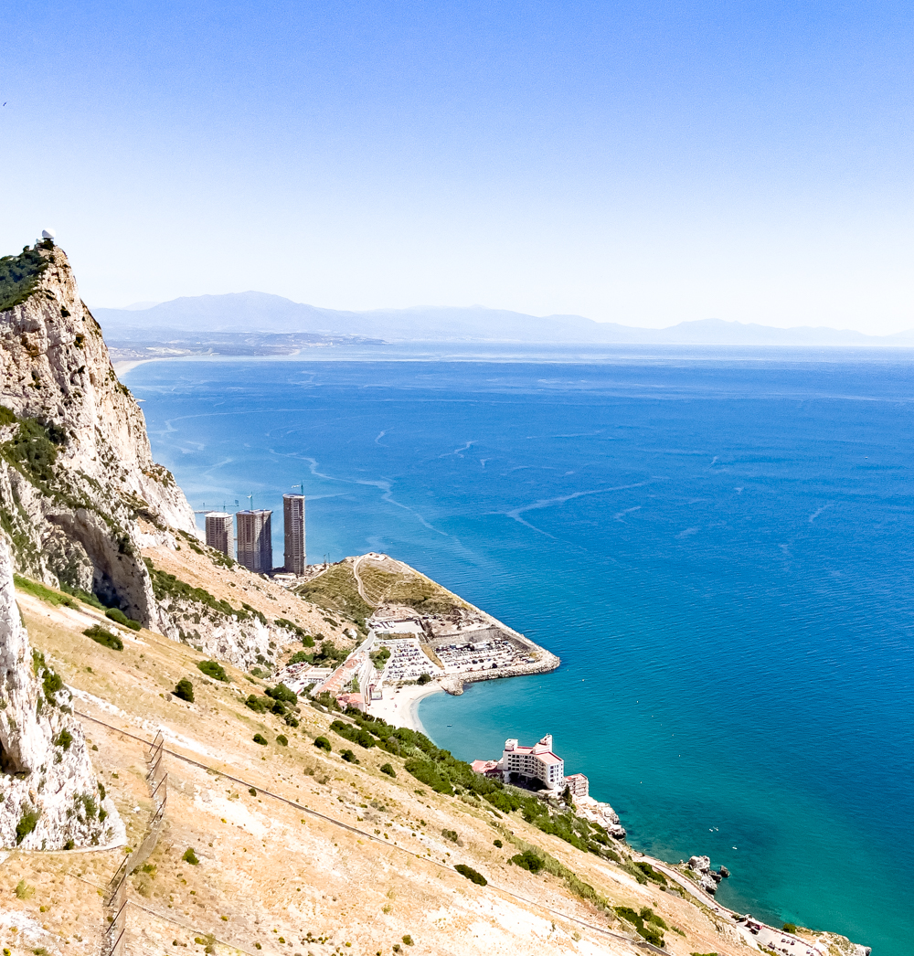
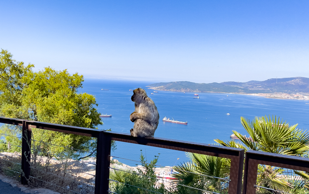
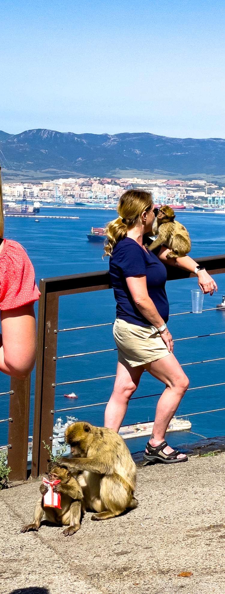
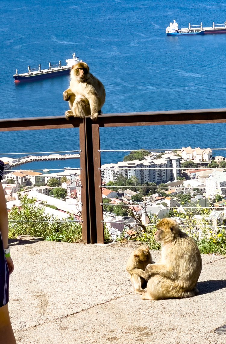
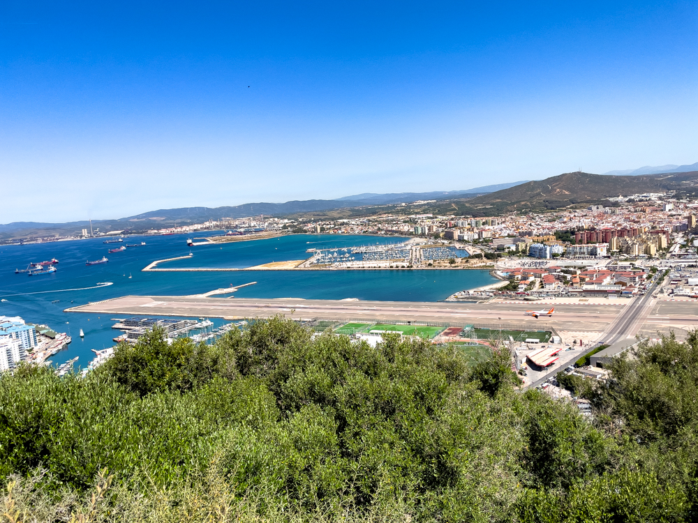
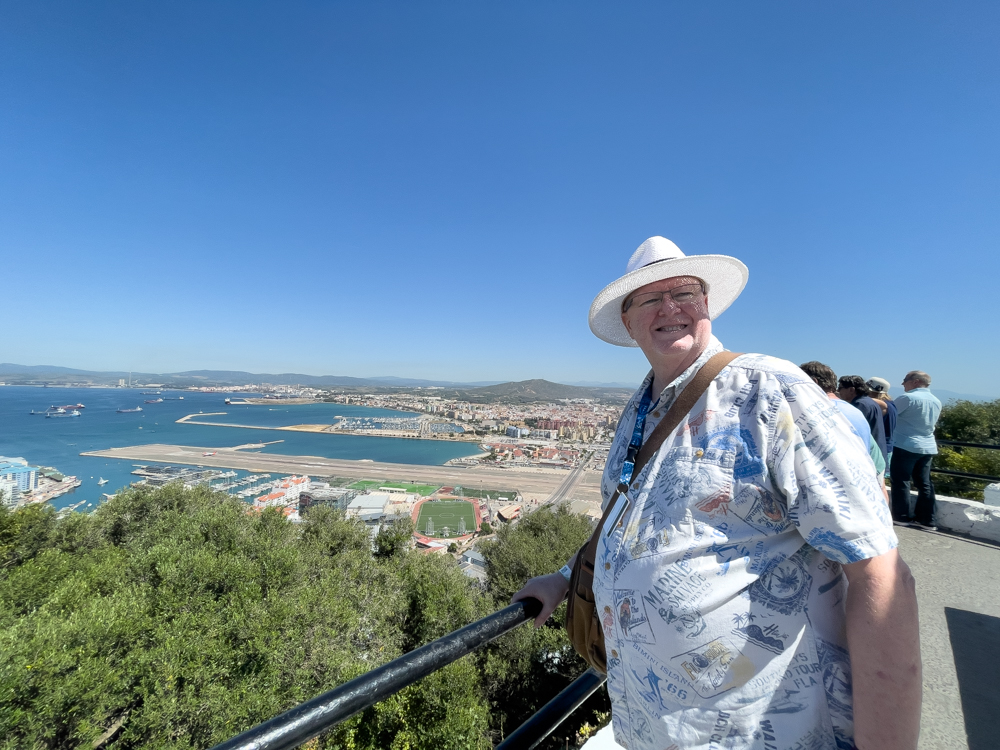
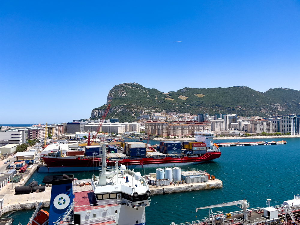
Stops also included St. Michaels Cave, a network of limestone caves located within the Upper Rock Nature Reserve) and the Pilars of Hercules. We saw wonderful scenery from the viewpoints. You can see Gibraltar, Africa, and Spain from the viewpoints.
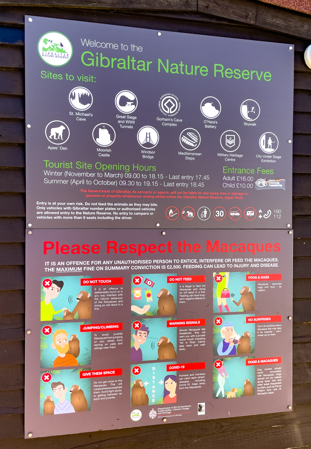
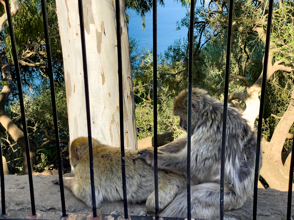
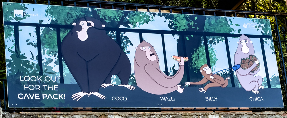
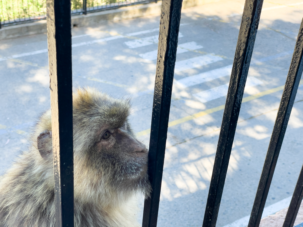
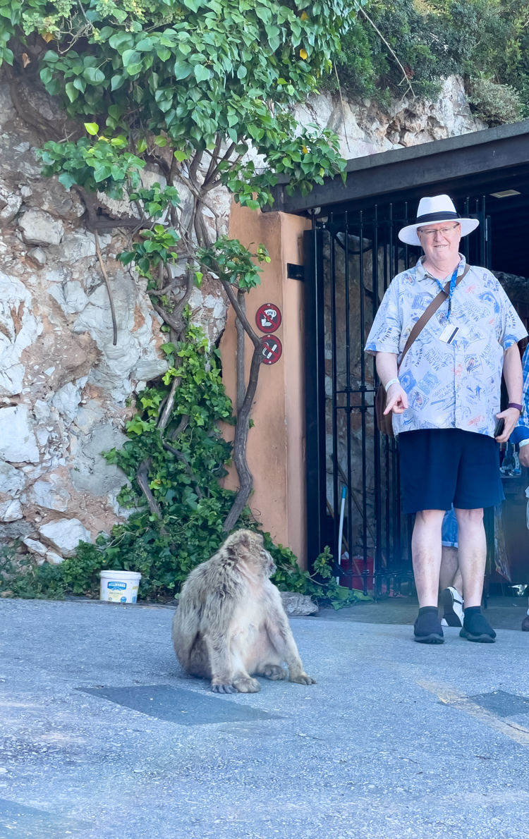
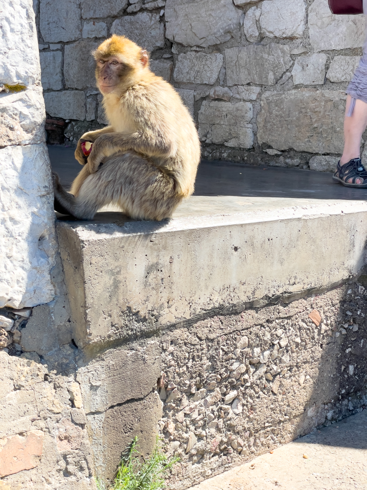
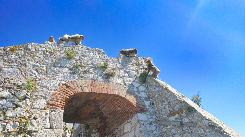
We got to see Gibraltar’s world renowned Apes and watch their antics.
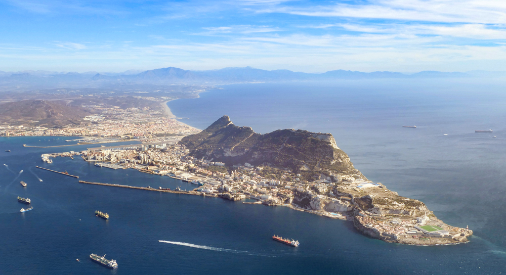
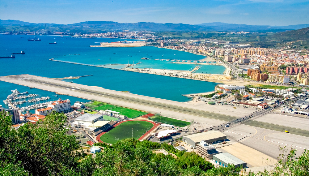
We also saw the view of the airport, which was interesting because the only road from/to Spain had to be closed during landing and takeoff, as the road goes right across the runway.
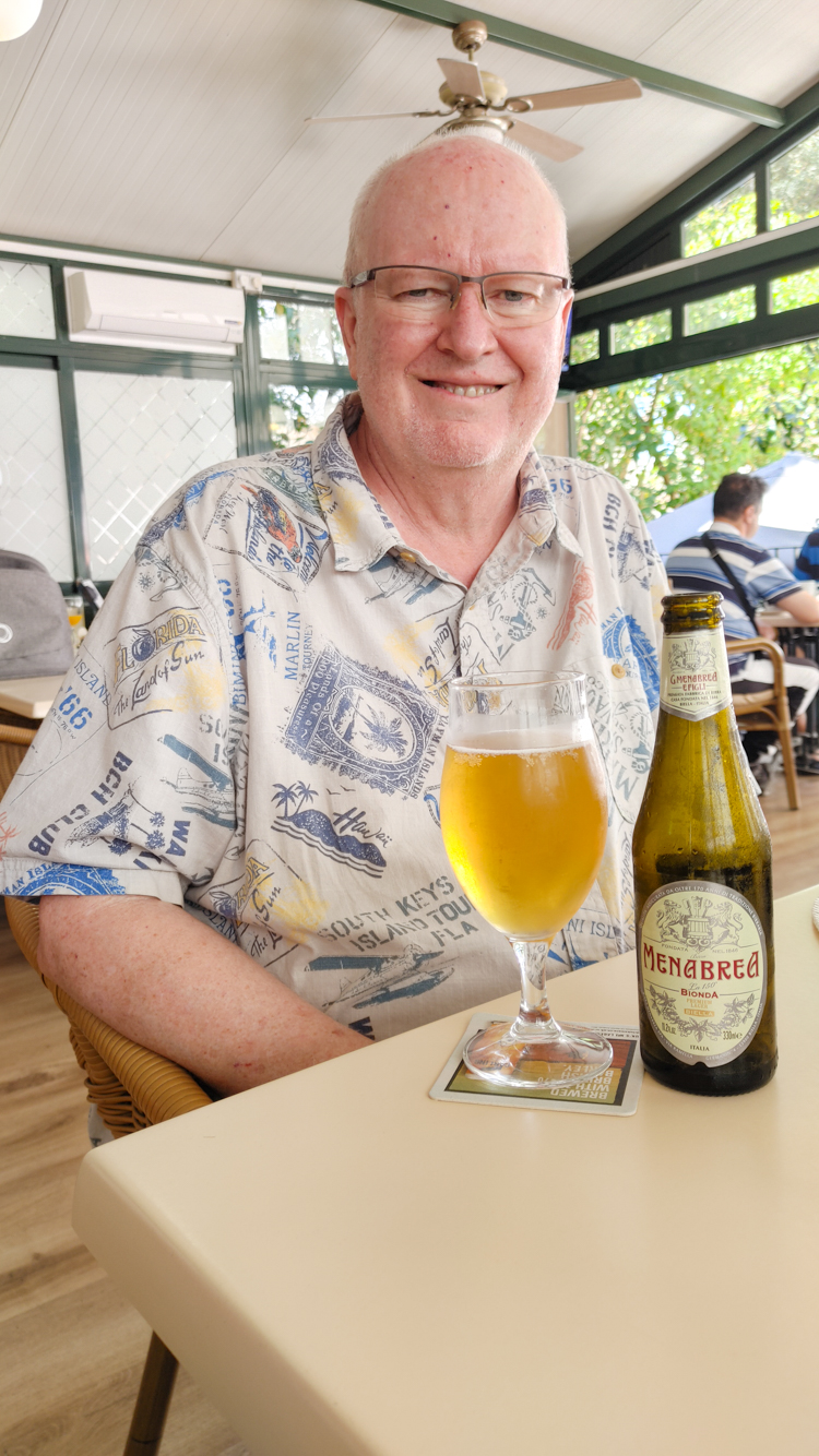
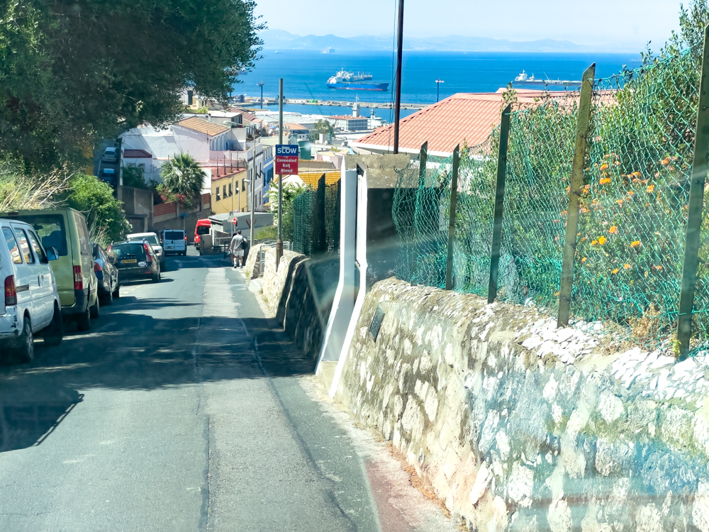
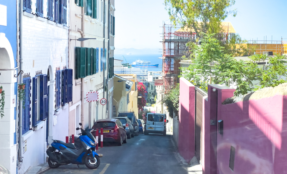
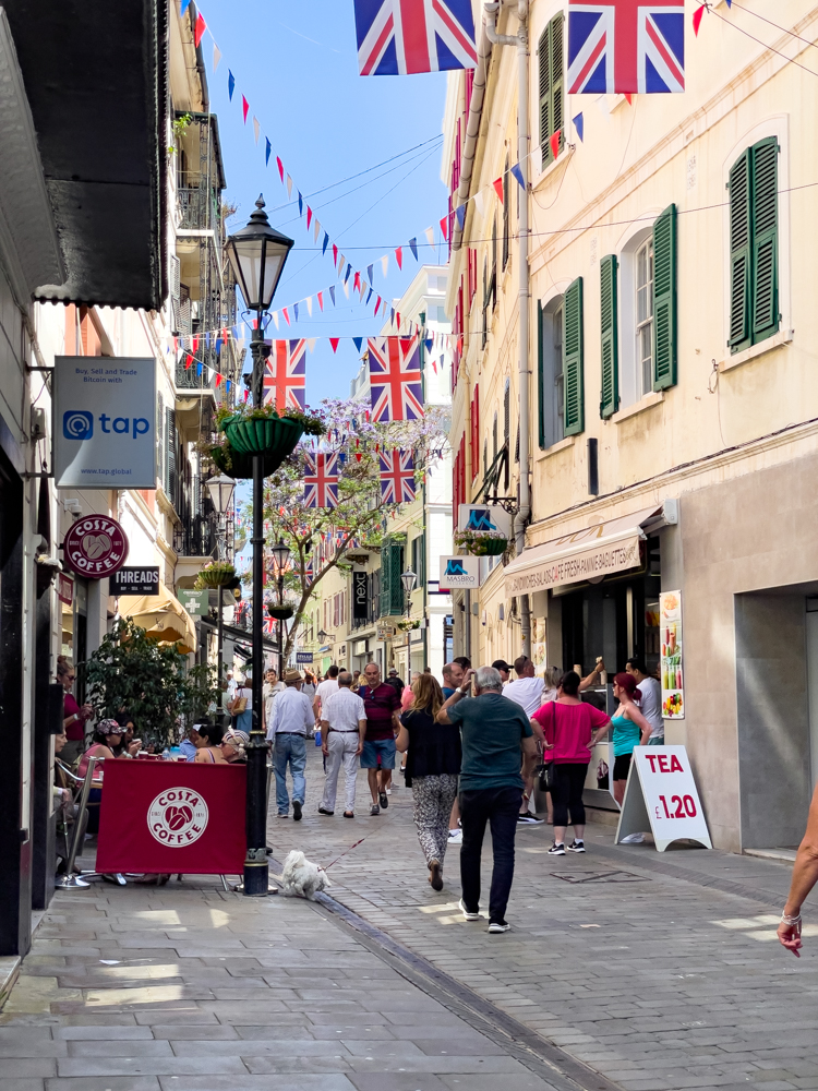
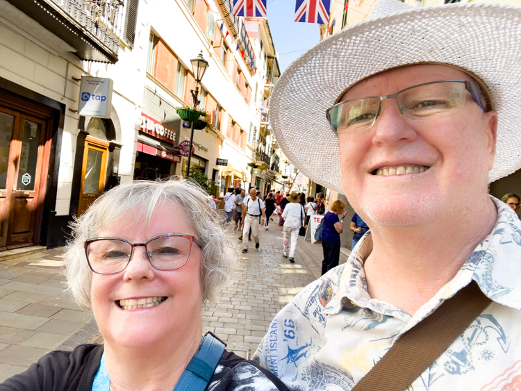
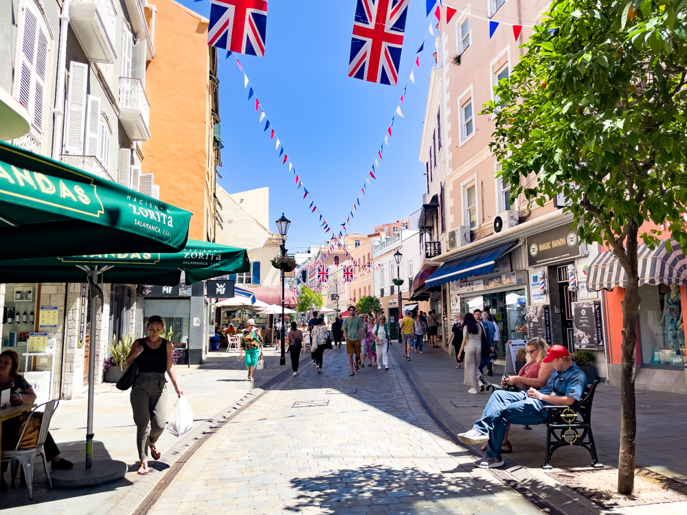
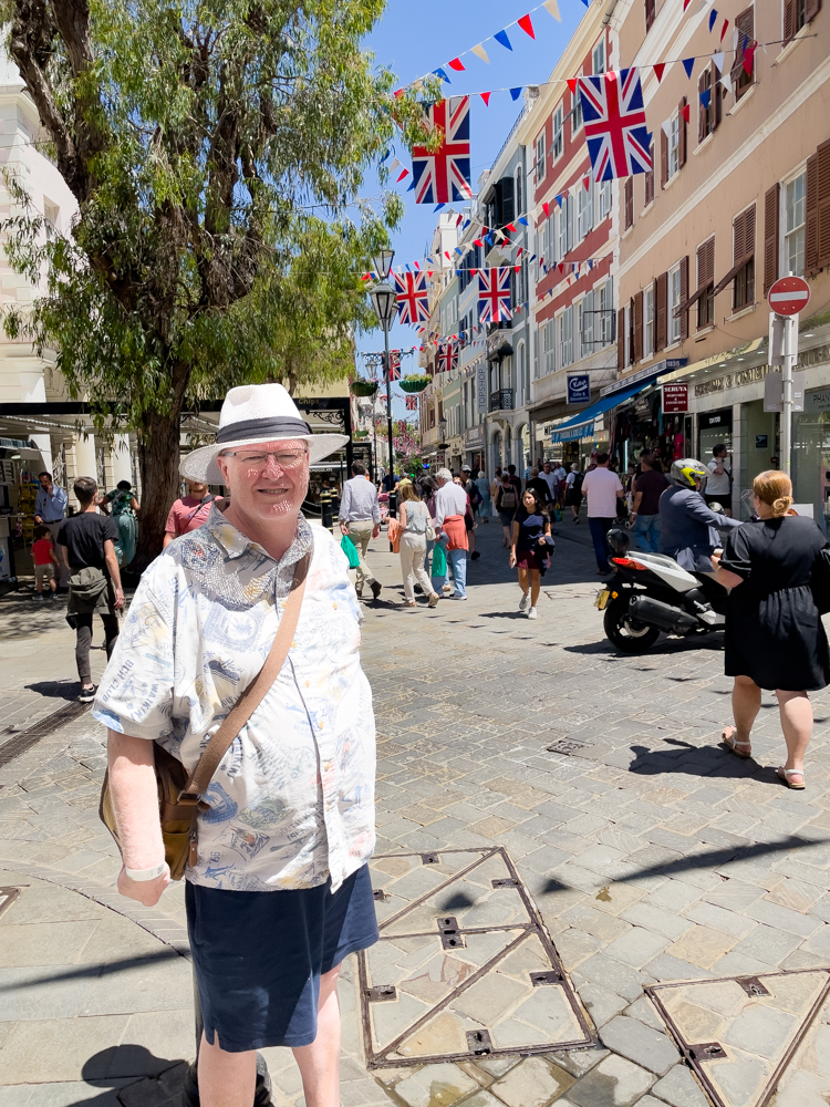
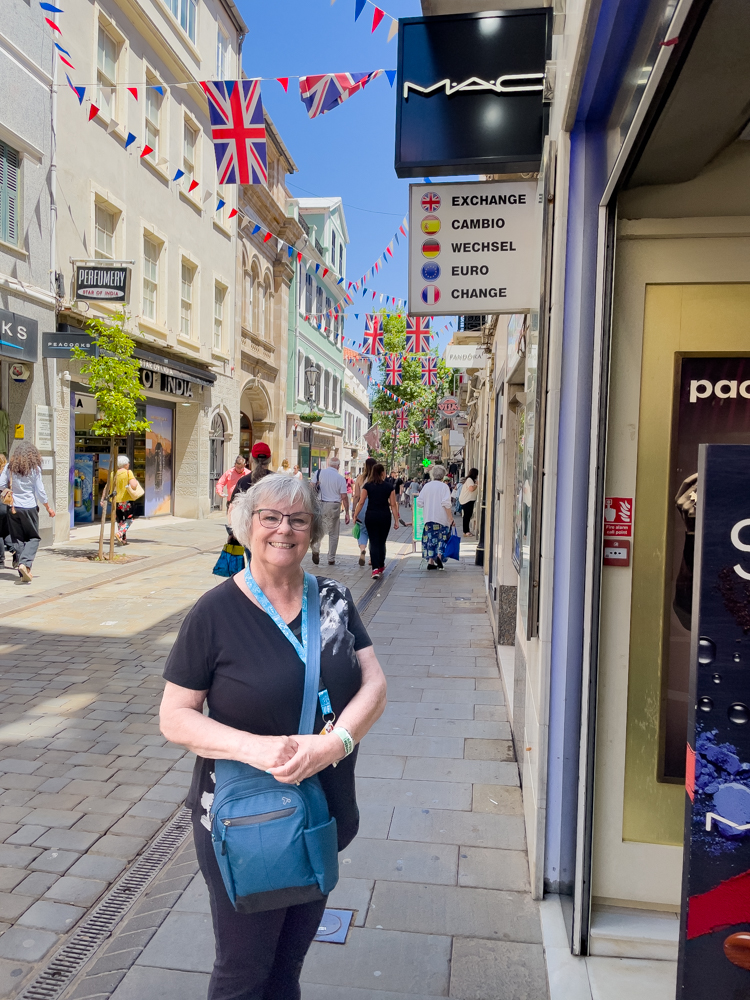
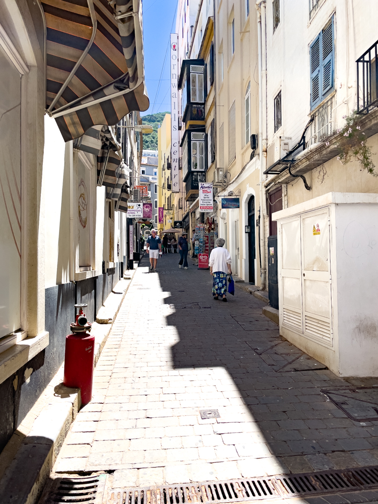
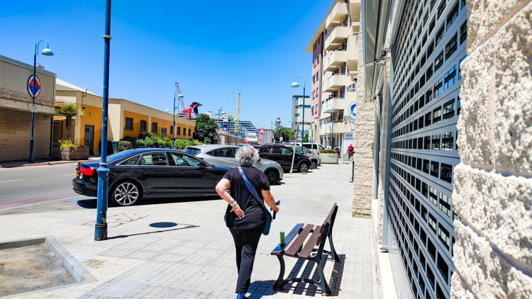
We were dropped off downtown where we stopped for a cool drink. John had an Italian beer, and I had a Pepsi. It was a lot of walking after they dropped us off but nothing we couldn’t handle. The downtown was interesting with cobbled narrow streets. The driver said if you can drive in Gibraltar, you can drive anywhere in the world and I would believe it, as the streets were very narrow.
The weather was perfect, about 80 degrees. A bit hot in the sun, but we had no problem finding shade when needed.
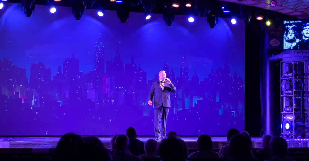
After dinner we attended the Broadway Show with Broadway star Chuck Wagner who was very good.
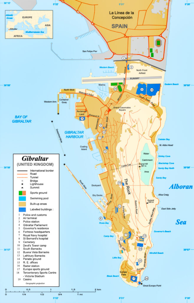
Note on the Map of Gibraltar the runway at the top of the map and just above it is Spain. The road to Spain runs across the runway and traffic has to be stopped for incoming and outgoing flights.